
Beloyarsky District, Khanty-Mansi Autonomous Okrug
Beloyarsky District
Белоярский район | |
|---|---|
 Numto Nature Park in Beloyarsky District | |
.png) Coat of arms | |
 Location of Beloyarsky District in Khanty-Mansi Autonomous Okrug | |
| Coordinates: 63°43′N 66°40′E / 63.717°N 66.667°E | |
| Country | Russia |
| Federal subject | Khanty-Mansi Autonomous Okrug[1] |
| Established | 1988 |
| Administrative center | Beloyarsky[1] |
| Area | |
| • Total | 41,574 km2 (16,052 sq mi) |
| Population | |
| • Total | 9,766 |
| • Estimate (2018)[4] | 28,921 (+196.1%) |
| • Density | 0.23/km2 (0.61/sq mi) |
| • Urban | 0% |
| • Rural | 100% |
| Administrative structure | |
| • Inhabited localities[1] | 11 rural localities |
| Municipal structure | |
| • Municipally incorporated as | Beloyarsky Municipal District[5] |
| • Municipal divisions[5] | 1 urban settlements, 6 rural settlements |
| Time zone | UTC+5 (MSK+2 |
| OKTMO ID | 71811000 |
| Website | http://www.admbel.ru/ |
Beloyarsky District (Russian: Белоя́рский райо́н) is an administrative[1] and municipal[5] district (raion), one of the nine in Khanty-Mansi Autonomous Okrug of Tyumen Oblast, Russia. It is located in the north of the autonomous okrug. The area of the district is 41,574 square kilometers (16,052 sq mi).[2] Its administrative center is the town of Beloyarsky (which is not administratively a part of the district).[1] Population: 9,766 (2010 Census);[3] 9,493 (2002 Census);[7] 8,927 (1989 Census).[8]
Administrative and municipal status[edit]
Within the framework of administrative divisions, Beloyarsky District is one of the nine in the autonomous okrug.[1] The town of Beloyarsky serves as its administrative center, despite being incorporated separately as a town of okrug significance—an administrative unit with the status equal to that of the districts.[1]
As a municipal division, the district is incorporated as Beloyarsky Municipal District, with the town of okrug significance of Beloyarsky being incorporated within it as Beloyarsky Urban Settlement.[5]
Geography[edit]
Lake Numto, a sacred place for the Khanty, is located in the district. The adjacent wetlands and the lake are part of an integrated 597,189.5 hectares (1,475,687 acres) protected area which was established in 1997.[9][10][11]
Demographics[edit]
Ethnic composition (2021):[12]
- Russians – 67.7%
- Khanty – 10.5%
- Ukrainians – 4.4%
- Tatars – 4.4%
- Bashkirs – 1.6%
- Kumyks – 1.2%
- Kyrgyz – 1.0%
- Mansi – 1.0%
- Others – 8.2%
See also[edit]
References[edit]
Notes[edit]
- ^ a b c d e f g Law #43-oz
- ^ a b "General Information" (in Russian). Beloyarsky District. Retrieved August 31, 2016.
- ^ a b Russian Federal State Statistics Service (2011). Всероссийская перепись населения 2010 года. Том 1 [2010 All-Russian Population Census, vol. 1]. Всероссийская перепись населения 2010 года [2010 All-Russia Population Census] (in Russian). Federal State Statistics Service.
- ^ "26. Численность постоянного населения Российской Федерации по муниципальным образованиям на 1 января 2018 года". Federal State Statistics Service. Retrieved January 23, 2019.
- ^ a b c d Law #63-oz
- ^ "Об исчислении времени". Официальный интернет-портал правовой информации (in Russian). June 3, 2011. Retrieved January 19, 2019.
- ^ Russian Federal State Statistics Service (May 21, 2004). Численность населения России, субъектов Российской Федерации в составе федеральных округов, районов, городских поселений, сельских населённых пунктов – районных центров и сельских населённых пунктов с населением 3 тысячи и более человек [Population of Russia, Its Federal Districts, Federal Subjects, Districts, Urban Localities, Rural Localities—Administrative Centers, and Rural Localities with Population of Over 3,000] (XLS). Всероссийская перепись населения 2002 года [All-Russia Population Census of 2002] (in Russian).
- ^ Всесоюзная перепись населения 1989 г. Численность наличного населения союзных и автономных республик, автономных областей и округов, краёв, областей, районов, городских поселений и сёл-райцентров [All Union Population Census of 1989: Present Population of Union and Autonomous Republics, Autonomous Oblasts and Okrugs, Krais, Oblasts, Districts, Urban Settlements, and Villages Serving as District Administrative Centers]. Всесоюзная перепись населения 1989 года [All-Union Population Census of 1989] (in Russian). Институт демографии Национального исследовательского университета: Высшая школа экономики [Institute of Demography at the National Research University: Higher School of Economics]. 1989 – via Demoscope Weekly.
- ^ Нумто - ООПТ России
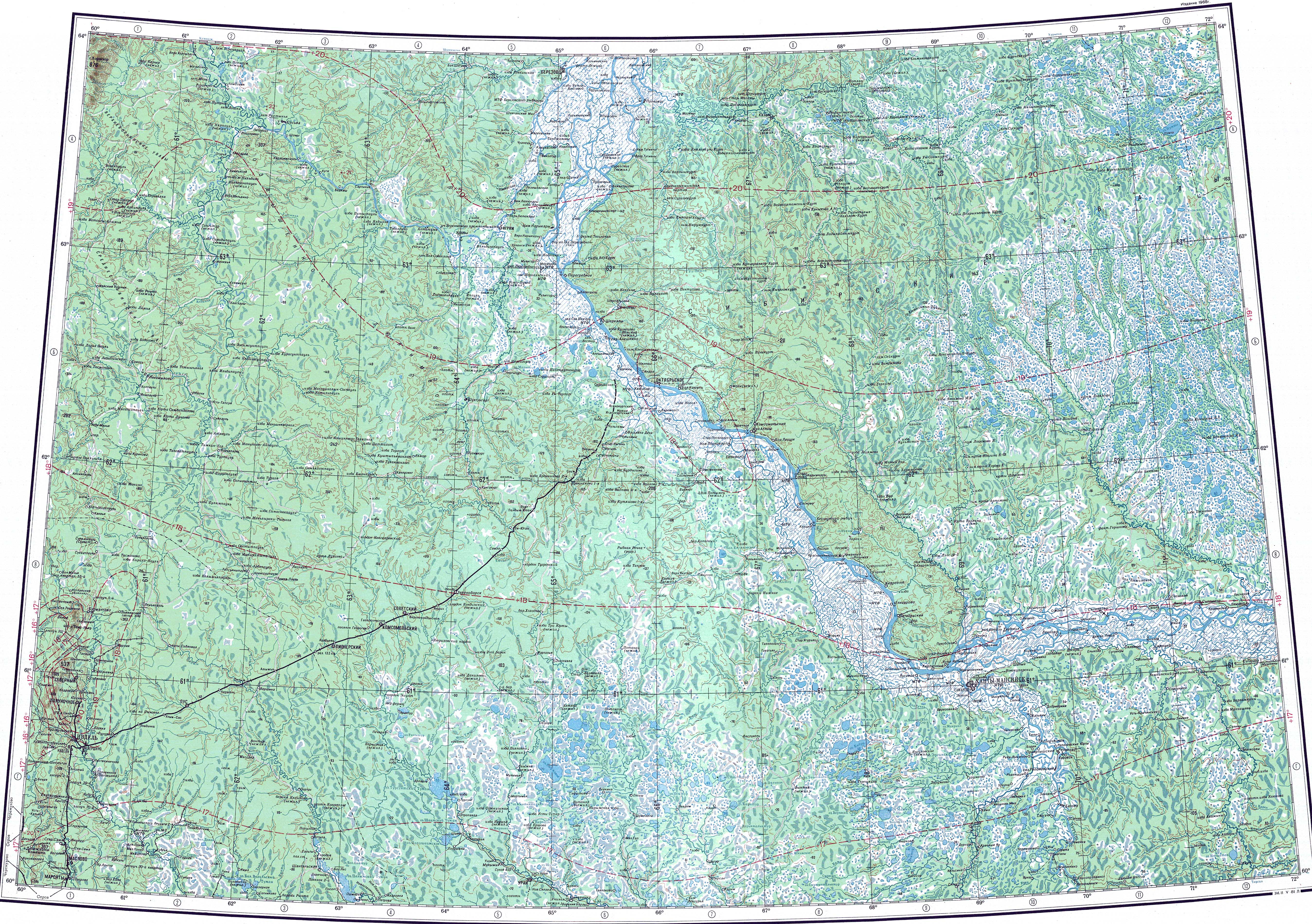
- ^ "P-41_42 Topographic Chart (in Russian)". Retrieved June 13, 2022.
- ^ Google Earth
- ^ "Национальный состав населения". Rosstat. Retrieved July 11, 2023.
Sources[edit]
- Дума Ханты-Мансийского автономного округа — Югры. Закон №43-оз от 7 июля 2004 г. «Об административно-территориальном устройстве Ханты-Мансийского автономного округа — Югры и порядке его изменения», в ред. Закона №129-оз от 9 декабря 2015 г. «Об изменениях административно-территориального устройства Ханты-Мансийского автономного округа — Югры и о внесении изменений в отдельные Законы Ханты-Мансийского автономного округа — Югры». Вступил в силу по истечении десяти дней со дня официального опубликования. Опубликован: "Новости Югры", №83, 17 июля 2004 г. (Duma of Khanty-Mansi Autonomous Okrug—Yugra. Law #43-oz of July 7, 2004 On the Administrative-Territorial Structure of Khanty-Mansi Autonomous Okrug—Yugra and on the Procedures for Its Change, as amended by the Law #129-oz of December 9, 2015 On the Changes to the Administrative-Territorial Structure of Khanty-Mansi Autonomous Okrug—Yugra and on Amending Various Laws of Khanty-Mansi Autonomous Okrug—Yugra. Effective as of the day which after ten days after the official publication date.).
- Дума Ханты-Мансийского автономного округа — Югры. Закон №63-оз от 25 ноября 2004 г. «О статусе и границах муниципальных образований Ханты-Мансийского автономного округа — Югры», в ред. Закона №129-оз от 9 декабря 2015 г. «Об изменениях административно-территориального устройства Ханты-Мансийского автономного округа — Югры и о внесении изменений в отдельные Законы Ханты-Мансийского автономного округа — Югры». Вступил в силу по истечении десяти дней со дня официального опубликования и до 1 января 2006 года применяется в целях реализации статей 84, 85 Федерального закона от 06.10.2003 №131-ФЗ. Опубликован: "Новости Югры", №143, 7 декабря 2004 г. (Duma of Khanty-Mansi Autonomous Okrug—Yugra. Law #63-oz of November 25, 2004 On the Status and Borders of the Municipal Formations of Khanty-Mansi Autonomous Okrug—Yugra, as amended by the Law #129-oz of December 9, 2015 On the Changes to the Administrative-Territorial Structure of Khanty-Mansi Autonomous Okrug—Yugra and on Amending Various Laws of Khanty-Mansi Autonomous Okrug—Yugra. Effective as of the day which after ten days after the official publication date; also in effect until January 1, 2006 in order to meet the requirements of Articles 84, 85 of the Federal Law #131-FZ of October 6, 2003.).
.svg) | Districts | ||
|---|---|---|---|
| Cities and towns | |||
| Urban-type settlements | |||