
File:A mapp of ye improved part of Pensilvania in America, divided into countyes townships and lotts.png
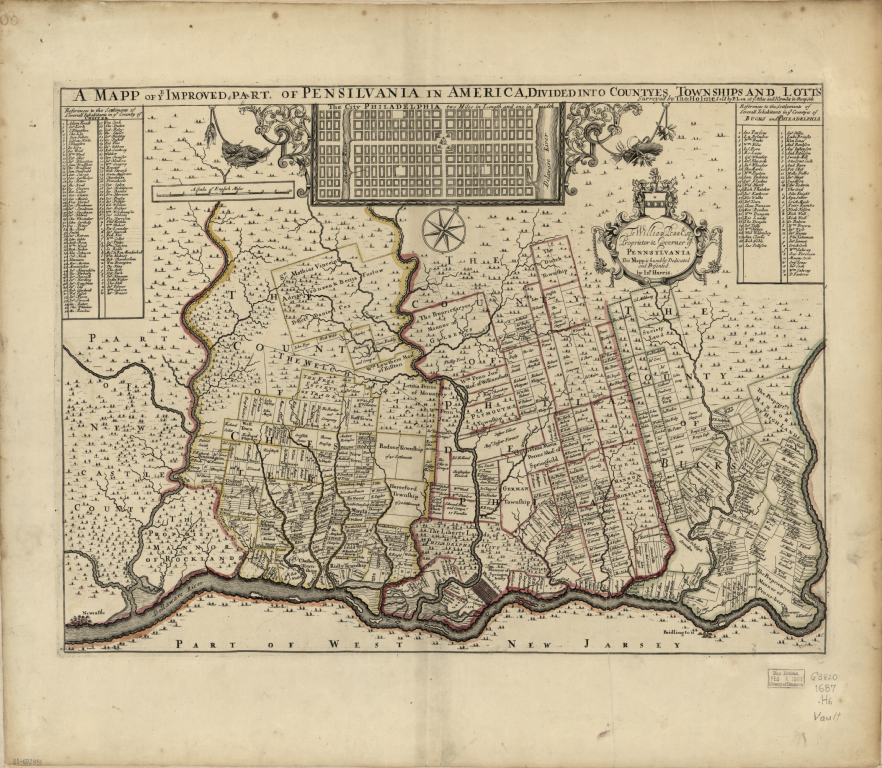
Size of this preview: 689 × 600 pixels. Other resolutions: 276 × 240 pixels | 551 × 480 pixels | 882 × 768 pixels | 1,176 × 1,024 pixels | 2,352 × 2,048 pixels | 7,399 × 6,442 pixels.
Original file (7,399 × 6,442 pixels, file size: 87.61 MB, MIME type: image/png)
| This is a file from the Wikimedia Commons. Information from its description page there is shown below. Commons is a freely licensed media file repository. You can help. |
Summary
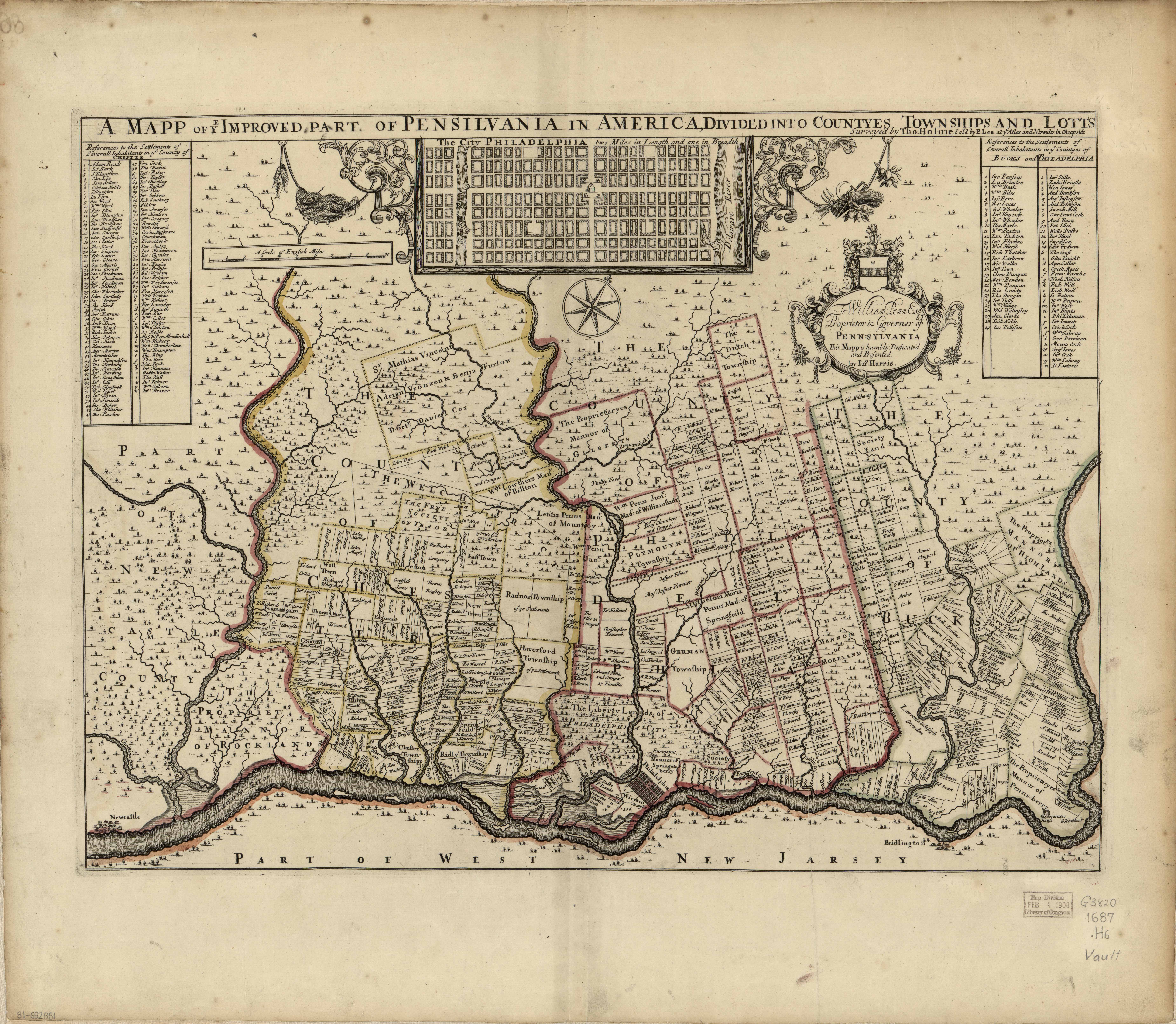
| Description | A mapp of ye improved part of Pensilvania in America, divided into countyes townships and lotts, Surveyed by Thomas Holmes for William Penn Esq.. This copy sold by P Lea at Atlas and Hercules in Cheapside. | |||||
| Date | ||||||
| Source |
|
|||||
| Author | Thomas Holmes | |||||
| Permission (Reusing this file) |
|
|||||
| Other versions |
|
|||||


.jpg)
File history
Click on a date/time to view the file as it appeared at that time.
| Date/Time | Thumbnail | Dimensions | User | Comment | |
|---|---|---|---|---|---|
| current | 10:18, 29 July 2015 | | 7,399 × 6,442 (87.61 MB) | Storkk | == {{int:filedesc}} == {{Information |Description=A mapp of ye improved part of Pensilvania in America, divided into countyes townships and lotts, Surveyed by Thomas Holmes for [[:en:William Penn|William Penn... |
File usage
No pages on the English Wikipedia use this file (pages on other projects are not listed).