
File:Aerial LPGA International Golf.jpg

Size of this preview: 600 × 600 pixels. Other resolutions: 240 × 240 pixels | 480 × 480 pixels | 1,000 × 1,000 pixels.
Original file (1,000 × 1,000 pixels, file size: 293 KB, MIME type: image/jpeg)
| This is a file from the Wikimedia Commons. Information from its description page there is shown below. Commons is a freely licensed media file repository. You can help. |
Summary
| Description |
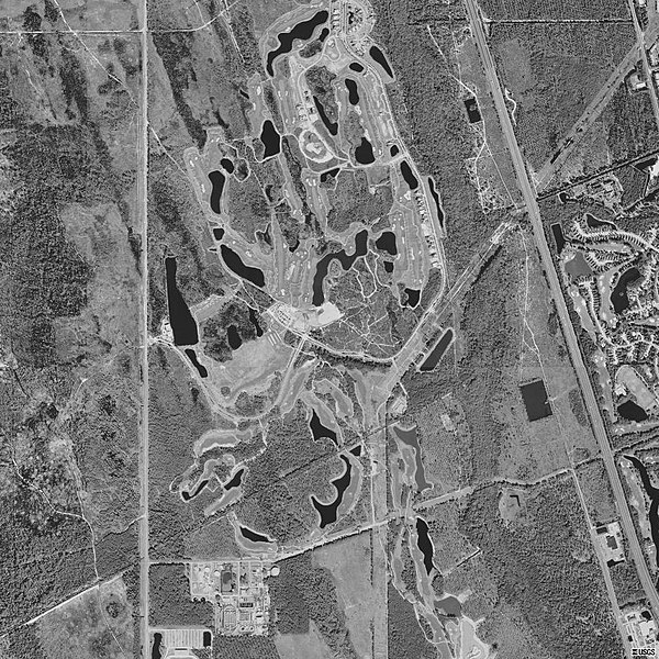
English: USGS digital orthophoto of LPGA International Golf Resort, Daytona Beach, Volusia County, Florida, United States. |
| Date | |
| Source | USGS The National Map, via MSR Maps (formerly TerraServer-USA) |
| Author | United States Geological Survey (USGS) |
| Camera location | | View this and other nearby images on: OpenStreetMap |
|---|
Licensing
This image is in the public domain in the United States because it only contains materials that originally came from the United States Geological Survey, an agency of the United States Department of the Interior. For more information, see the official USGS copyright policy.
|
File history
Click on a date/time to view the file as it appeared at that time.
| Date/Time | Thumbnail | Dimensions | User | Comment | |
|---|---|---|---|---|---|
| current | 02:12, 6 January 2009 | | 1,000 × 1,000 (293 KB) | Gamweb | {{Information |Description={{en|1=Aerial view of LPGA International Golf Resort, Daytona Beach, Volusia County, Florida, United States 26 January 1999. Source: United States Geological Survey digital orthophotoquad via TerraService WebMap Server.}} |Sourc |
File usage
The following pages on the English Wikipedia use this file (pages on other projects are not listed):