
File:Africa location map.svg

Size of this PNG preview of this SVG file: 635 × 600 pixels. Other resolutions: 254 × 240 pixels | 508 × 480 pixels | 813 × 768 pixels | 1,084 × 1,024 pixels | 2,169 × 2,048 pixels | 1,525 × 1,440 pixels.
Original file (SVG file, nominally 1,525 × 1,440 pixels, file size: 774 KB)
| This is a file from the Wikimedia Commons. Information from its description page there is shown below. Commons is a freely licensed media file repository. You can help. |
Summary
| Description |
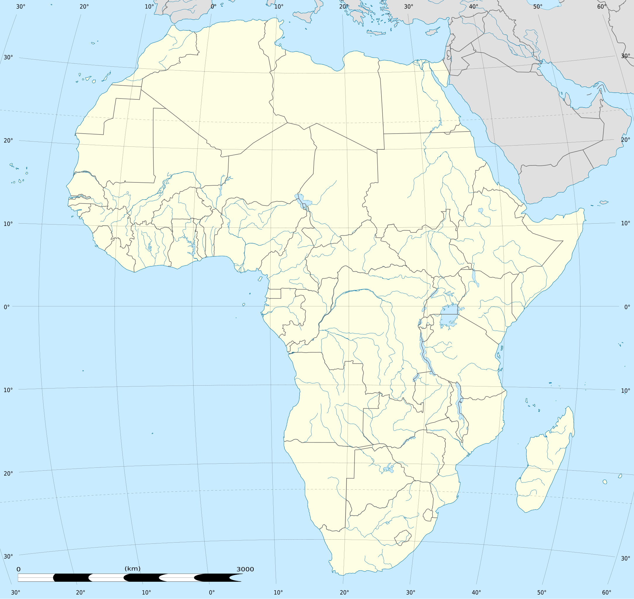
English: Blank administrative map of political Africa as in 2011-07, for geo-location purposes. On English Wikipedia, in "{{Location map Africa}}" to set marker along curved latitude/longitude lines.
Français : Carte administrative vierge de l'Afrique politique telle qu'en 07/2011, destinée à la géolocalisation. En Wikipédia Francais, a la Modèle:Géolocalisation/Afrique pour carte avec marqueur-image. A Lambert azimuthal equal-area projection, WGS84 datum
|
||
| Date | 2010-07-02, updated 2011-07 | ||
| Source |
Based upon Africa map blank.svg created by myself
|
||
| Author | Eric Gaba (Sting - fr:Sting) | ||
| Permission (Reusing this file) |
|
||
| Other versions |
Derivative works of this file:
|
||
| SVG development | This locator map was created with Inkscape. |


| Camera location | | View this and other nearby images on: OpenStreetMap |
|---|
Licensing
Eric Gaba, Wikimedia Commons user Sting, the copyright holder of this work, hereby publishes it under the following licenses:

|
Permission is granted to copy, distribute and/or modify this document under the terms of the GNU Free Documentation License, Version 1.2 or any later version published by the Free Software Foundation; with no Invariant Sections, no Front-Cover Texts, and no Back-Cover Texts. A copy of the license is included in the section entitled GNU Free Documentation License. |
This file is licensed under the Creative Commons Attribution-Share Alike 3.0 Unported license.
Attribution: Eric Gaba, Wikimedia Commons user Sting
- You are free:
- to share – to copy, distribute and transmit the work
- to remix – to adapt the work
- Under the following conditions:
- attribution – You must give appropriate credit, provide a link to the license, and indicate if changes were made. You may do so in any reasonable manner, but not in any way that suggests the licensor endorses you or your use.
- share alike – If you remix, transform, or build upon the material, you must distribute your contributions under the same or compatible license as the original.
You may select the license of your choice.
File history
Click on a date/time to view the file as it appeared at that time.
| Date/Time | Thumbnail | Dimensions | User | Comment | |
|---|---|---|---|---|---|
| current | 12:40, 2 October 2012 | | 1,525 × 1,440 (774 KB) | Palosirkka | Reverted to version as of 19:13, 14 July 2011 Location maps must remain very accurate |
| 20:15, 12 September 2012 |  | 1,525 × 1,440 (524 KB) | Palosirkka | Scrubbed with http://codedread.com/scour/ | |
| 19:13, 14 July 2011 |  | 1,525 × 1,440 (774 KB) | Sting | Sudan/South Sudan 2011-07 border update | |
| 20:12, 2 July 2010 |  | 1,525 × 1,440 (573 KB) | Sting | == {{int:filedesc}} == {{Location|00|00|00|N|15|00|00|E|scale:30000000}} <br/>{{Information |Description={{en|Blank administrative map of political Africa, for geo-location purposes.}} {{fr|Carte administrative vierge de l'[[:fr:Afrique|Afr |
File usage
More than 100 pages use this file. The following list shows the first 100 pages that use this file only. A full list is available.
- 2004 Summer Olympics torch relay
- Adelaide, Eastern Cape
- Adwa
- Alberton, South Africa
- Alexandra, South Africa
- Ballito
- Bapsfontein
- Barberton, South Africa
- Beira, Mozambique
- Bellville, South Africa
- Benoni, South Africa
- Bhisho
- Bizerte
- Blantyre
- Bloemfontein
- Boksburg
- Bouaké
- Bram Fischer International Airport
- Brits, South Africa
- Cape Coast
- Cape Town
- Cape Town International Airport
- Centurion, South Africa
- Dire Dawa
- Durban
- East London, South Africa
- Entebbe
- Estcourt
- Fourways
- Franschhoek
- George Airport
- Gondar
- Graaff-Reinet
- Great Zimbabwe
- Harar
- Heidelberg, Gauteng
- Ibn Battuta
- Ismailia
- Johannesburg
- Kairouan
- Kano (city)
- Keetmanshoop
- Khartoum
- Kimberley, Northern Cape
- Klerksdorp
- Knysna
- Kokstad
- Kotoka International Airport
- Kroonstad
- Kumasi
- Kuruman
- La Palma
- Laayoune
- Lake Bosumtwi
- Lalibela
- Lenasia
- Lydenburg
- Mafikeng
- Malindi
- Marabastad, Pretoria
- Maseru
- Mbombela
- Mekelle
- Midrand
- Mmabatho
- Modimolle
- Mossel Bay
- Murtala Muhammed International Airport
- Nalubaale Hydroelectric Power Station
- Newcastle, KwaZulu-Natal
- O. R. Tambo International Airport
- Onitsha
- Operation Gothic Serpent
- Orania
- Orkney, South Africa
- Paarl
- Plettenberg Bay
- Port Shepstone
- Potchefstroom
- Pretoria
- Quatro de Fevereiro Airport
- Randburg
- Richards Bay
- Rondebosch
- Sandton
- Scottburgh
- Secunda, South Africa
- Soweto
- Struisbaai
- Taba, Egypt
- Tenoumer crater
- Tswaing crater
- Uitenhage
- Union Buildings
- Upington
- Vereeniging
- Volubilis
- Weldiya
- Welkom
- Windhoek
View more links to this file.
Global file usage
The following other wikis use this file:
- Usage on af.wikipedia.org
- Usage on als.wikipedia.org
- Usage on an.wikipedia.org
- Alcher
- Addis Abeba
- Brazzaville
- Accra
- Buyumbura
- Abuja
- Chibuti (ciudat)
- N'Djamena
- Banjul
- Lilongwe
- Bamako
- Maseru
- Kigali
- Asmara
- Mbabane
- Bissau
- Bangui
- Plantilla:Mapa de localización Africa
- Victoria (Seychelles)
- Freetown
- Moroni
- Sant Tomé
- Saint-Denis (Reunión)
- Saint-Benoît (Reunión)
- Saint-Paul (Reunión)
- Saint-Pierre (Reunión)
- Mamoudzou
- Usage on ar.wikipedia.org
- ابن بطوطة
- الألعاب الإفريقية
- قالب:خريطة مواقع إفريقيا
- دوري أبطال إفريقيا 2014
- خطوط موزمبيق الرحلة 470
- الخطوط الجوية الجزائرية الرحلة 5017
- قائمة الأماكن التي زارها ابن بطوطة
- وحدة:Location map/data/Africa
- وحدة:Location map/data/Africa/شرح
- التنافس بين تونس وليبيا في كرة القدم
- التنافس بين تونس والمغرب في كرة القدم
- التنافس بين المغرب وليبيا في كرة القدم
- قائمة ملاعب نهائيات كأس الأمم الإفريقية
- دوري إفريقيا لكرة السلة 2021
- كأس الأمم الإفريقية 2027
View more global usage of this file.