
File:Africa topography map.png
Size of this preview: 605 × 600 pixels. Other resolutions: 242 × 240 pixels | 484 × 480 pixels | 775 × 768 pixels | 1,033 × 1,024 pixels | 2,067 × 2,048 pixels | 2,663 × 2,639 pixels.
Original file (2,663 × 2,639 pixels, file size: 1.66 MB, MIME type: image/png)
| This is a file from the Wikimedia Commons. Information from its description page there is shown below. Commons is a freely licensed media file repository. You can help. |
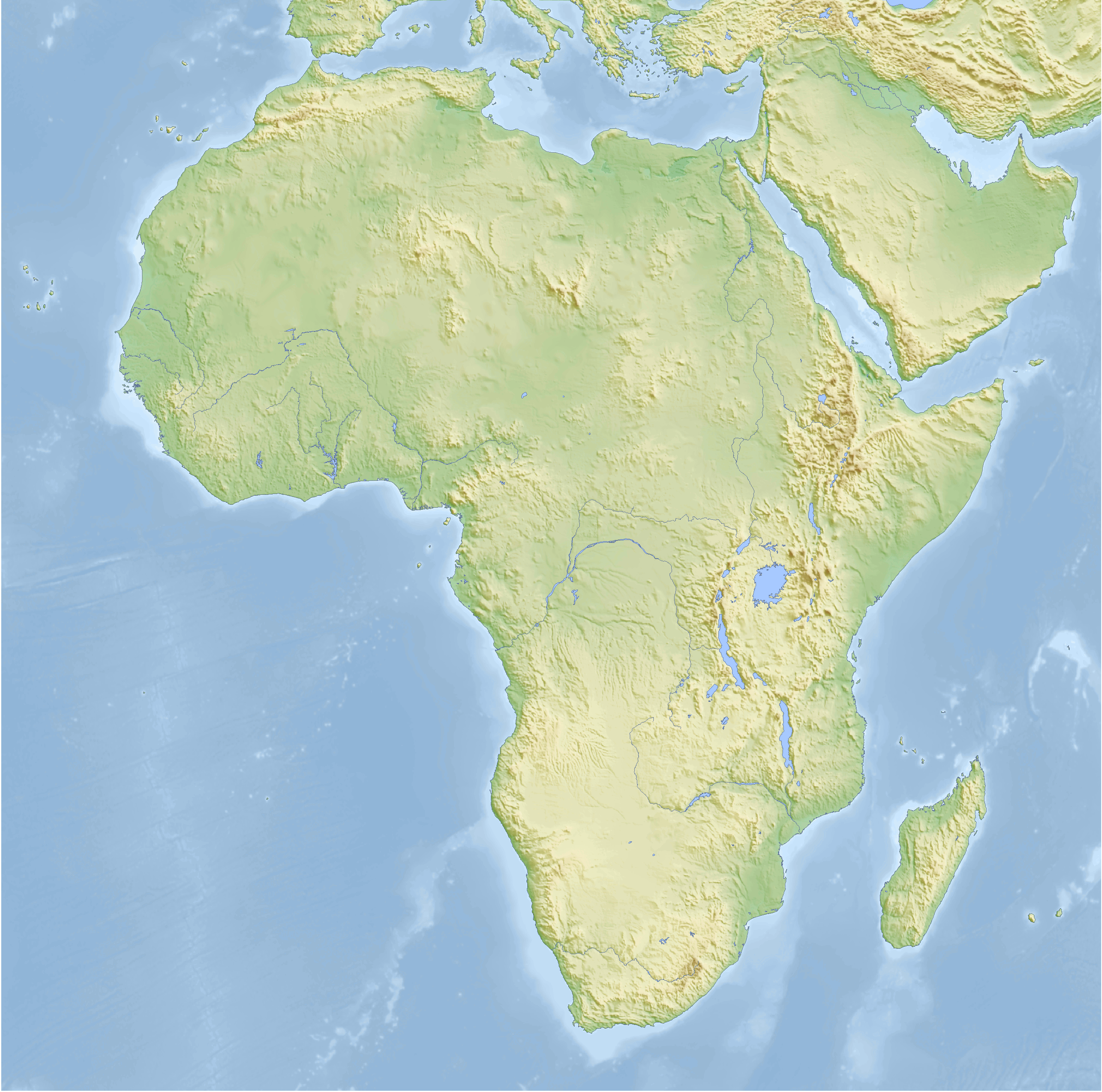
| Description | Topographic map of Africa, Cassini cylindrical projection |
| Date | |
| Source |
self-made, using GMT For the code see de:Benutzer:Lilleskut/Afrikakarte. |
| Author | Bamse |
| Other versions |
Derivative works of this file: Menelik II conquests map.svg with borders |
The map has been created with the Generic Mapping Tools: https://www.generic-mapping-tools.org/ using one or more of these public-domain datasets for the relief:
|

|
Permission is granted to copy, distribute and/or modify this document under the terms of the GNU Free Documentation License, Version 1.2 or any later version published by the Free Software Foundation; with no Invariant Sections, no Front-Cover Texts, and no Back-Cover Texts. A copy of the license is included in the section entitled GNU Free Documentation License. |
| This file is licensed under the Creative Commons Attribution-Share Alike 3.0 Unported license. | ||
| ||
| This licensing tag was added to this file as part of the GFDL licensing update. |

|
This map has been made or improved in the German Kartenwerkstatt (Map Lab). You can propose maps to improve as well.
|
File history
Click on a date/time to view the file as it appeared at that time.
| Date/Time | Thumbnail | Dimensions | User | Comment | |
|---|---|---|---|---|---|
| current | 07:41, 12 February 2008 | | 2,663 × 2,639 (1.66 MB) | Bamse | |
| 03:51, 29 January 2008 |  | 2,663 × 2,639 (1.66 MB) | Bamse | ||
| 09:03, 22 January 2008 |  | 2,663 × 2,639 (1.67 MB) | Bamse | ||
| 05:52, 11 January 2008 |  | 2,728 × 2,703 (1.7 MB) | Bamse | ||
| 05:23, 11 January 2008 |  | 2,728 × 2,703 (1.69 MB) | Bamse | ||
| 04:26, 19 December 2007 |  | 2,500 × 2,479 (2.45 MB) | Bamse | {{Information |Description=topographic map of Africa |Source=self-made |Date=19-12-2007 |Author= Bamse |Permission= |other_versions= }} {{GFDL-GMT}} |
File usage
No pages on the English Wikipedia use this file (pages on other projects are not listed).
Global file usage
The following other wikis use this file:
- Usage on azb.wikipedia.org
- Usage on de.wikipedia.org
- Usage on de.wikiversity.org
- Usage on pt.wikinews.org