
File:Baku, Azerbaijan, satellite image, LandSat-5, 2010-09-06.jpg

Size of this preview: 698 × 599 pixels. Other resolutions: 280 × 240 pixels | 559 × 480 pixels | 894 × 768 pixels | 1,192 × 1,024 pixels | 2,385 × 2,048 pixels | 4,455 × 3,826 pixels.
Original file (4,455 × 3,826 pixels, file size: 3.41 MB, MIME type: image/jpeg)
| This is a file from the Wikimedia Commons. Information from its description page there is shown below. Commons is a freely licensed media file repository. You can help. |
Summary
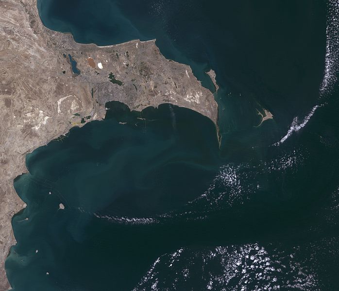
| Description |
Azərbaycanca: Abşeron Yarımadası, Landsat-5 peykinin şəkili, 6 sentyabr 2010 il
English: Greater Baku, Azerbaijan, satellite image, LandSat-5, 2010-09-06, near natural colors, resolution 30 m
Русский: Спутниковая фотография Апшеронского полуострова, разрешение 30 м, 6 сентября 2010 года
Українська: Супутникова фотографія Апшеронського півострова, LandSat-5, 6 вересня 2010 року |
| Date | |
| Source | http://edcsns17.cr.usgs.gov/NewEarthExplorer/ image ID LT51660322010249KHC01 |
| Author | NASA |
| Other versions |
.jpg)
Licensing
| This file is in the public domain in the United States because it was solely created by NASA. NASA copyright policy states that "NASA material is not protected by copyright unless noted". (See Template:PD-USGov, NASA copyright policy page or JPL Image Use Policy.) | ||
 |
Warnings:
|
File history
Click on a date/time to view the file as it appeared at that time.
| Date/Time | Thumbnail | Dimensions | User | Comment | |
|---|---|---|---|---|---|
| current | 20:54, 27 May 2011 | | 4,455 × 3,826 (3.41 MB) | Bogomolov.PL | {{Information |Description ={{en|1=Greater Baku, Azerbaijan, satellite image, LandSat-5, 2010-09-06, near natural colors, resolution 30 m}} |Source =http://edcsns17.cr.usgs.gov/NewEarthExplorer/ image ID LT51660322010249KHC01 |Author =N |
File usage
The following pages on the English Wikipedia use this file (pages on other projects are not listed):
Global file usage
The following other wikis use this file:
- Usage on ar.wikipedia.org
- Usage on av.wikipedia.org
- Usage on azb.wikipedia.org
- Usage on az.wikipedia.org
- Usage on az.wiktionary.org
- Usage on ba.wikipedia.org
- Usage on be.wikipedia.org
- Usage on bg.wikipedia.org
- Usage on ca.wikipedia.org
- Usage on ceb.wikipedia.org
- Usage on ce.wikipedia.org
- Usage on de.wikipedia.org
- Usage on eo.wikipedia.org
- Usage on es.wikipedia.org
- Usage on eu.wikipedia.org
- Usage on fa.wikipedia.org
- Usage on fr.wikipedia.org
- Usage on hr.wikipedia.org
- Usage on hu.wikipedia.org
- Usage on hy.wikipedia.org
- Usage on ka.wikipedia.org
- Usage on kk.wikipedia.org
- Usage on ky.wikipedia.org
- Usage on la.wikipedia.org
- Usage on lv.wikipedia.org
- Usage on nn.wikipedia.org
- Usage on pl.wikipedia.org
View more global usage of this file.