
File:Barbados France Locator.png

Size of this preview: 800 × 455 pixels. Other resolutions: 320 × 182 pixels | 640 × 364 pixels | 1,260 × 716 pixels.
Original file (1,260 × 716 pixels, file size: 65 KB, MIME type: image/png)
| This is a file from the Wikimedia Commons. Information from its description page there is shown below. Commons is a freely licensed media file repository. You can help. |
Summary
| Description |
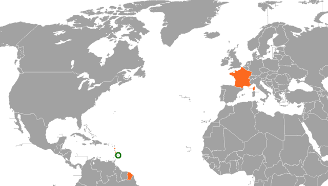
English: A map of the location of France and Barbados, including the French territories.
France
Barbados |
| Date | (UTC) |
| Source |
|
| Author | CaribDigita |
| Permission (Reusing this file) |
This file is licensed under the Creative Commons Attribution-Share Alike 2.5 Generic license.
|
File history
Click on a date/time to view the file as it appeared at that time.
| Date/Time | Thumbnail | Dimensions | User | Comment | |
|---|---|---|---|---|---|
| current | 04:29, 11 January 2021 | | 1,260 × 716 (65 KB) | Aquintero82 | Updated map |
| 20:36, 2 August 2010 |  | 1,357 × 628 (46 KB) | CaribDigita | {{Information |Description={{en|1=holder}} |Source={{own}} |Author=CaribDigita |Date=2010-08-02 |Permission= |other_versions= }} |
File usage
The following pages on the English Wikipedia use this file (pages on other projects are not listed):
Global file usage
The following other wikis use this file:
- Usage on he.wikipedia.org
- Usage on www.wikidata.org