
File:Battle of Sorauren map.jpg
Original file (1,317 × 822 pixels, file size: 231 KB, MIME type: image/jpeg)
| This is a file from the Wikimedia Commons. Information from its description page there is shown below. Commons is a freely licensed media file repository. You can help. |
Summary
| Description |
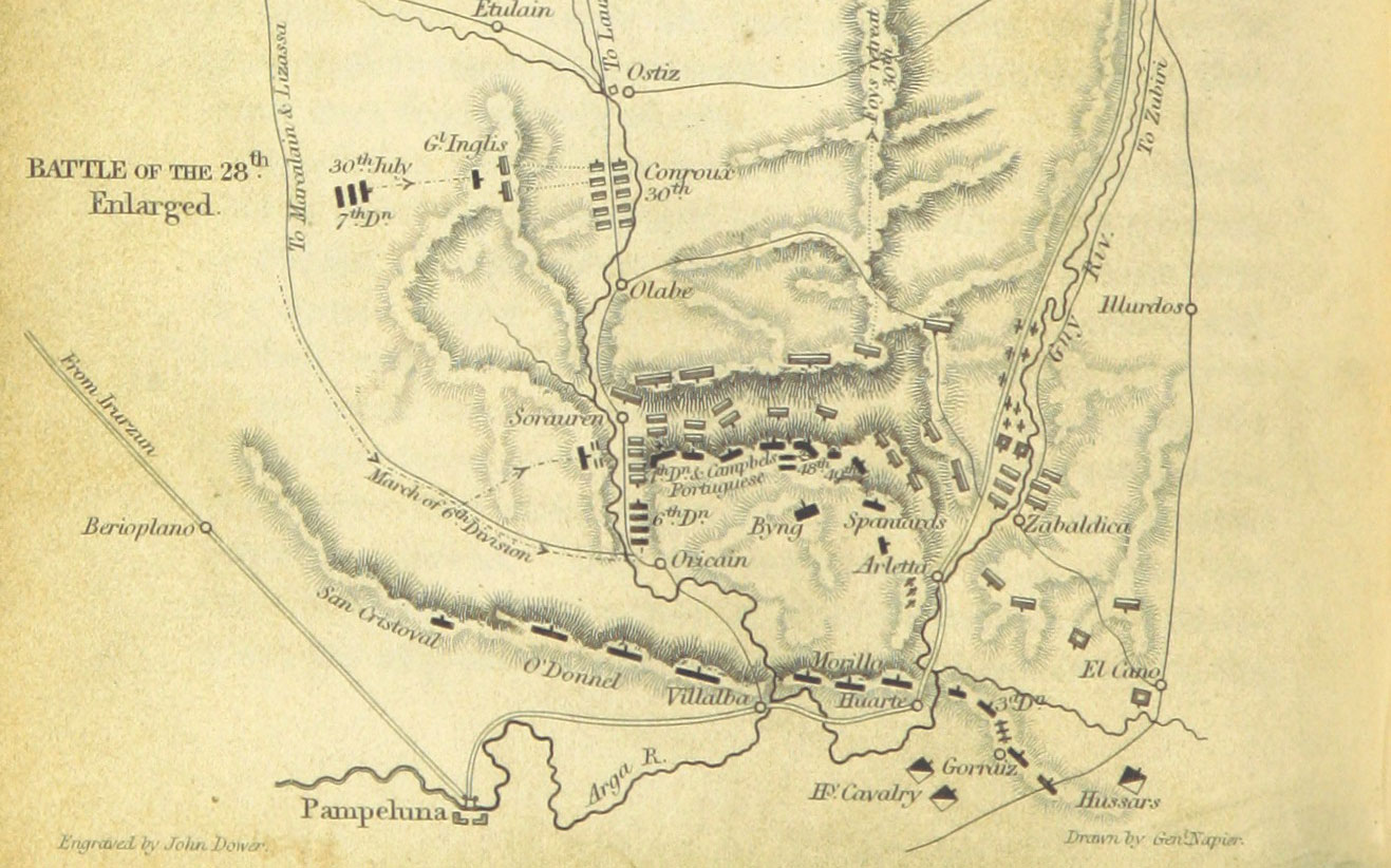
English: A map of the 1813 Battle of Sorauren. |
||
| Date | |||
| Source |
From p. 170 of "History of the War in the Peninsula and in the South of France, from the Year 1807 to the Year 1814 ... From the fourth edition ... With ... engravings.", volume 5. Uploaded by the British Library to Flickr here.
|
||
| Author | William Francis Patrick Napier (Book author) |

Licensing
|
This work is in the public domain in its country of origin and other countries and areas where the copyright term is the author's life plus 70 years or fewer. This work is in the public domain in the United States because it was published (or registered with the U.S. Copyright Office) before January 1, 1929. | |
| This file has been identified as being free of known restrictions under copyright law, including all related and neighboring rights. | |
File history
Click on a date/time to view the file as it appeared at that time.
| Date/Time | Thumbnail | Dimensions | User | Comment | |
|---|---|---|---|---|---|
| current | 04:35, 3 December 2016 | | 1,317 × 822 (231 KB) | Howicus | User created page with UploadWizard |
File usage
Global file usage
The following other wikis use this file:
- Usage on es.wikipedia.org
- Usage on eu.wikipedia.org
- Usage on ru.wikipedia.org