
File:Bezirk Unter-Elsaß (Karte).jpg
Size of this preview: 415 × 600 pixels. Other resolutions: 166 × 240 pixels | 332 × 480 pixels | 531 × 768 pixels | 709 × 1,024 pixels | 2,407 × 3,478 pixels.
Original file (2,407 × 3,478 pixels, file size: 1.98 MB, MIME type: image/jpeg)
| This is a file from the Wikimedia Commons. Information from its description page there is shown below. Commons is a freely licensed media file repository. You can help. |
.jpg)
Summary
| Description |
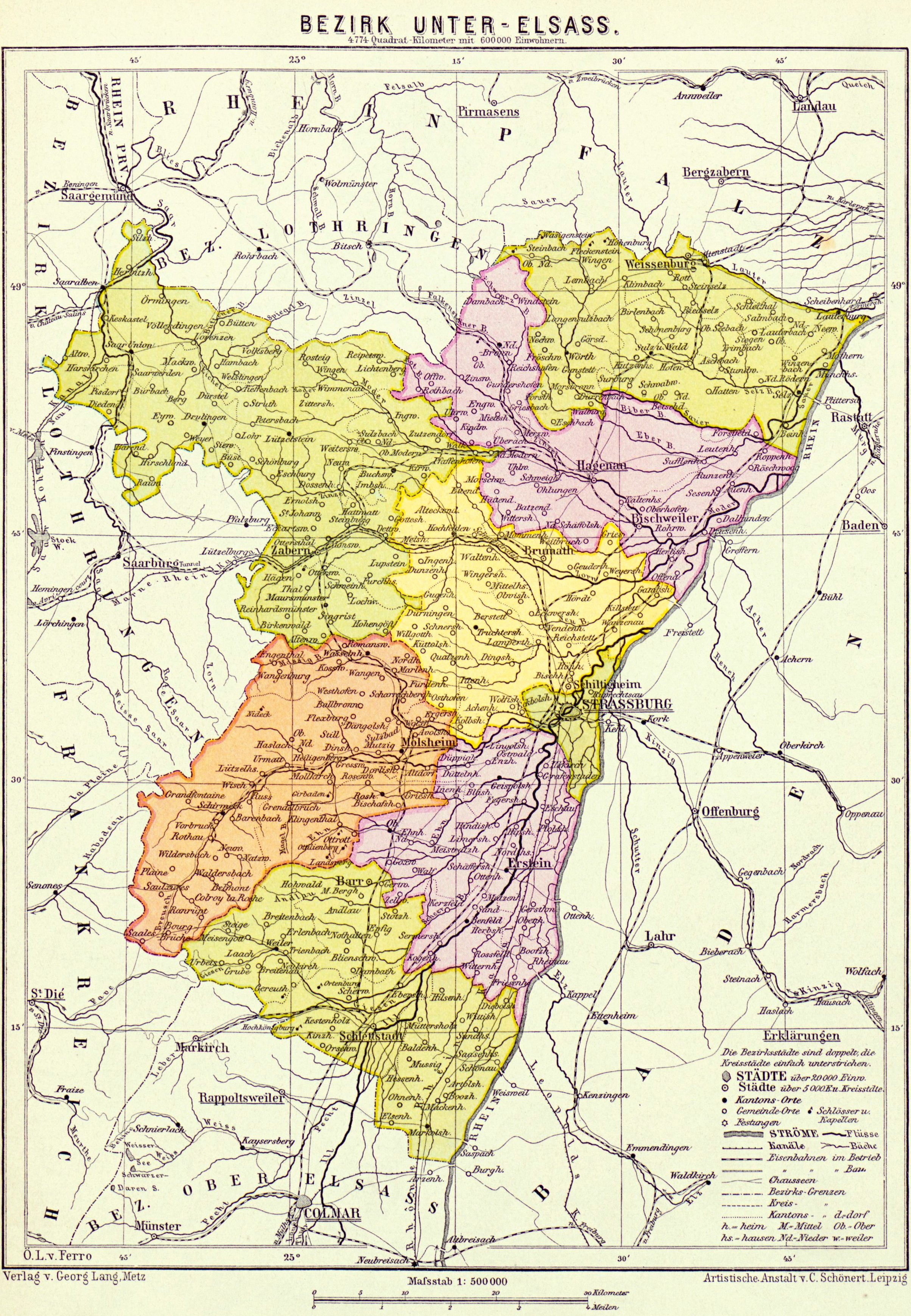
Deutsch: Karte des Bezirks Unter-Elsass Français : Carte du Bezirk (département) de Basse-Alsace (Bas-Rhin) |
| Date | |
| Source | Georg Langs Mittelschul-Atlas für Elsass-Lothringen mit besonderer Berücksichtigung der Heimat-und Vaterlandskunde..., Gebweiler : J. Boltze, 1890, 32 p. (Bibliothèque nationale et universitaire de Strasbourg) |
| Author | Johann Ludwig Algermissen ; Kartographische Verlagsanstalt von Georg Lang (Metz) ; Artistische Anstalt v. C. Scönert (Leipzig) |
Licensing
| This file is licensed under the Licence Ouverte 1.0 (License text, English license text).
|
File history
Click on a date/time to view the file as it appeared at that time.
| Date/Time | Thumbnail | Dimensions | User | Comment | |
|---|---|---|---|---|---|
| current | 18:31, 4 April 2012 | | 2,407 × 3,478 (1.98 MB) | Paralacre | sans les marges noires |
| 17:59, 4 April 2012 |  | 2,914 × 4,039 (2.07 MB) | Paralacre |
File usage
The following pages on the English Wikipedia use this file (pages on other projects are not listed):
Global file usage
The following other wikis use this file:
- Usage on als.wikipedia.org
- Usage on de.wikipedia.org
- Usage on fr.wikipedia.org
- Usage on zh.wikipedia.org
.jpg)