
File:Bilaspur in India (1951).svg

Size of this PNG preview of this SVG file: 497 × 599 pixels. Other resolutions: 199 × 240 pixels | 398 × 480 pixels | 637 × 768 pixels | 849 × 1,024 pixels | 1,698 × 2,048 pixels | 980 × 1,182 pixels.
Original file (SVG file, nominally 980 × 1,182 pixels, file size: 200 KB)
| This is a file from the Wikimedia Commons. Information from its description page there is shown below. Commons is a freely licensed media file repository. You can help. |
Summary
| Description |
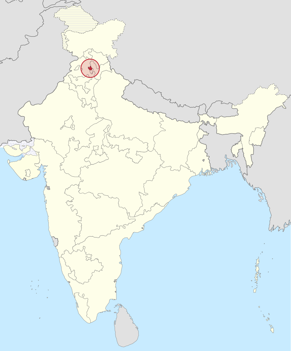
Deutsch: Einfache Positionskarte des Bundesstaates Bilaspur in Indien (1951). Français : Localisation de l'État de Bilaspur en Inde en 1951. English: Localisation of Bilaspur State in India, 1951. |
||
| Date | |||
| Source |
This file was derived from: Bombay in India (1951).svg |
||
| Author | Own work | ||
| Permission (Reusing this file) |
I, the copyright holder of this work, hereby publish it under the following licenses:
This file is licensed under the Creative Commons Attribution-Share Alike 4.0 International license.
You may select the license of your choice. |

.svg)
.svg)
File history
Click on a date/time to view the file as it appeared at that time.
| Date/Time | Thumbnail | Dimensions | User | Comment | |
|---|---|---|---|---|---|
| current | 01:12, 23 August 2016 | | 980 × 1,182 (200 KB) | Milenioscuro | some corrections in colors of european exclaves |
| 00:21, 26 September 2015 |  | 980 × 1,182 (180 KB) | Furfur | =={{int:filedesc}}== {{Information |Description={{de|1=Einfache Positionskarte des Bundesstaates Bilaspur in Indien (1951).}}{{fr|1=Localisation de l'État de Bilaspur en Inde en 1951.}}{{en|1=Localisation of Bilaspur State in India, 1951.}} |Source={{... |
File usage
The following pages on the English Wikipedia use this file (pages on other projects are not listed):
Global file usage
The following other wikis use this file:
- Usage on bn.wikipedia.org
- Usage on de.wikipedia.org
- Usage on el.wikipedia.org
- Usage on es.wikipedia.org
- Usage on he.wikipedia.org
- Usage on ml.wikipedia.org
- Usage on mr.wikipedia.org
- Usage on te.wikipedia.org
- Usage on uz.wikipedia.org
- Usage on vi.wikipedia.org
.svg)