
File:California's 30th congressional district map.png

Size of this preview: 800 × 448 pixels. Other resolutions: 320 × 179 pixels | 802 × 449 pixels.
Original file (802 × 449 pixels, file size: 30 KB, MIME type: image/png)
| This is a file from the Wikimedia Commons. Information from its description page there is shown below. Commons is a freely licensed media file repository. You can help. |
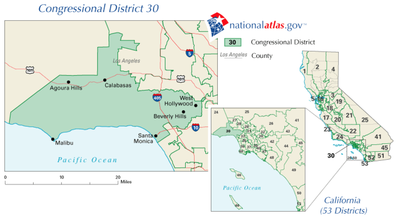
| Description | California's Former 30th congressional district (defunct boundaries as of 2003) | |||
| Source | nationalatlas.gov | |||
| Author | nationalatlas.gov | |||
| Permission (Reusing this file) |
|
File history
Click on a date/time to view the file as it appeared at that time.
| Date/Time | Thumbnail | Dimensions | User | Comment | |
|---|---|---|---|---|---|
| current | 14:35, 3 March 2008 | | 802 × 449 (30 KB) | Gridge | {{Information |Description=California's 30th congressional district |Source=[http://nationalatlas.gov/printable/congress.html nationalatlas.gov] |Date= |Author=[http://nationalatlas.gov/printable/congress.html nationalatlas.gov] |Permission={{PD-USGov}} | |
File usage
The following pages on the English Wikipedia use this file (pages on other projects are not listed):
Global file usage
The following other wikis use this file:
- Usage on fr.wikipedia.org
- Usage on pt.wikipedia.org