
File:Carte du pays de Santones sous les Romains.jpg

Original file (2,072 × 1,449 pixels, file size: 411 KB, MIME type: image/jpeg)
| This is a file from the Wikimedia Commons. Information from its description page there is shown below. Commons is a freely licensed media file repository. You can help. |
Summary
| Description |
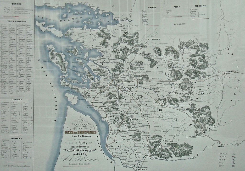
Français : Carte_du_pays_de_Santones_sous_les_Romains |
| Date | before 1878 |
| Source | Map by Auguste Lacurie (1799-1878) |
| Author | Auguste Lacurie |
Licensing
|
This is a faithful photographic reproduction of a two-dimensional, public domain work of art. The work of art itself is in the public domain for the following reason:
The official position taken by the Wikimedia Foundation is that "faithful reproductions of two-dimensional public domain works of art are public domain". This photographic reproduction is therefore also considered to be in the public domain in the United States. In other jurisdictions, re-use of this content may be restricted; see Reuse of PD-Art photographs for details. {{PD-Art}} template without license parameter: please specify why the underlying work is public domain in both the source country and the United States
(Usage: {{PD-Art|1=|deathyear=''year of author's death''|country=''source country''}}, where parameter #1 can be PD-old-auto, PD-old-auto-expired, PD-old-auto-1996, PD-old-100 or similar. See Commons:Multi-license copyright tags for more information.) | ||||
File history
Click on a date/time to view the file as it appeared at that time.
| Date/Time | Thumbnail | Dimensions | User | Comment | |
|---|---|---|---|---|---|
| current | 20:44, 9 May 2009 | | 2,072 × 1,449 (411 KB) | World Imaging | {{Information |Description={{fr|1=Carte_du_pays_de_Santones_sous_les_Romains}} |Source=Map by Auguste Lacurie (1799-1878) |Author=Auguste Lacurie |Date=before 1878 |Permission= |other_versions= }} <!--{{ImageUpload|full}}--> Category:Gaul |
File usage
Global file usage
The following other wikis use this file: