
File:Castromaior 2014.png

Size of this preview: 800 × 560 pixels. Other resolutions: 320 × 224 pixels | 640 × 448 pixels | 1,024 × 717 pixels | 1,199 × 839 pixels.
Original file (1,199 × 839 pixels, file size: 2.54 MB, MIME type: image/png)
| This is a file from the Wikimedia Commons. Information from its description page there is shown below. Commons is a freely licensed media file repository. You can help. |
Summary
| Description |
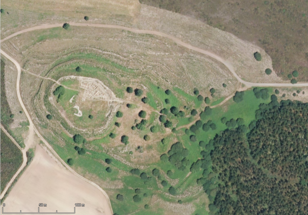
Galego: Castro de Castromaior, Portomarín, Lugo - PNOA 2014 |
| Date | |
| Source | Información Xeográfica de Galicia |
| Author | IGN / Xunta de Galicia |
| Camera location | | View this and other nearby images on: OpenStreetMap |
|---|
Licensing

|
The copyright holder of this file, Xunta de Galicia & Instituto Geográfico Nacional (archived version), allows anyone to use it for any purpose, provided that the copyright holder is properly attributed. Redistribution, derivative work, commercial use, and all other use is permitted. |
Attribution:
PNOA cedido por © Instituto Geográfico Nacional - Xunta de Galicia
|
File history
Click on a date/time to view the file as it appeared at that time.
| Date/Time | Thumbnail | Dimensions | User | Comment | |
|---|---|---|---|---|---|
| current | 12:00, 15 July 2018 | | 1,199 × 839 (2.54 MB) | Froaringus | User created page with UploadWizard |
File usage
The following pages on the English Wikipedia use this file (pages on other projects are not listed):
Global file usage
The following other wikis use this file:
- Usage on de.wikipedia.org
- Usage on en.wiktionary.org
- Usage on gl.wikipedia.org
- Usage on www.wikidata.org