
File:Columbus, georgia metro area map.png
No higher resolution available.
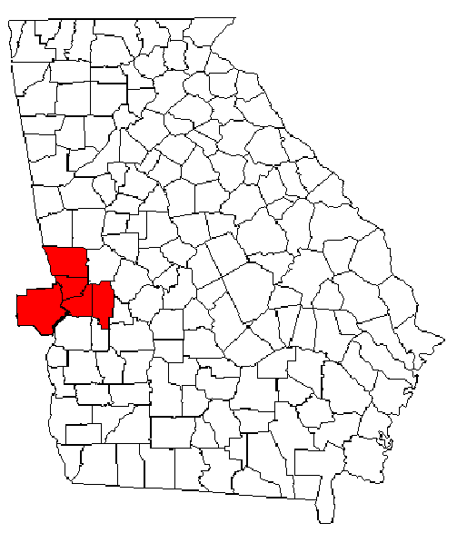
Columbus,_georgia_metro_area_map.png (503 × 587 pixels, file size: 28 KB, MIME type: image/png)
Summary[edit]
Map of Georgia (and Alabama) highlighting the Columbus Metropolitan Statistical Area; Made by Shark96z (talk).
Licensing:[edit]
 | I, the copyright holder of this work, hereby grant the permission to copy, distribute and/or modify this document under the terms of the GNU Free Documentation License, Version 1.2 or any later version published by the Free Software Foundation; with no Invariant Sections, no Front-Cover Texts, and no Back-Cover Texts. |
| This work is licensed under the Creative Commons Attribution-ShareAlike 3.0 License. This licensing tag was added to this file as part of the GFDL licensing update. |
| This media file is either in the public domain or published under a free license, and contains no inbound file links. If this media file is useful, then it should be transferred to the Wikimedia Commons. If this media is not useful, then please propose it for deletion or list it at files for discussion. |
| This media file is either in the public domain or published under a free license, and contains no inbound file links. If this media file is useful, then it should be transferred to the Wikimedia Commons. If this media is not useful, then please propose it for deletion or list it at files for discussion. |
 | This file is a candidate to be copied to Wikimedia Commons.
Any user may perform this transfer; refer to Wikipedia:Moving files to Commons for details. If this file has problems with attribution, copyright, or is otherwise ineligible for Commons, then remove this tag and DO NOT transfer it; repeat violators may be blocked from editing. Other Instructions
| ||
| |||
File history
Click on a date/time to view the file as it appeared at that time.
| Date/Time | Thumbnail | Dimensions | User | Comment | |
|---|---|---|---|---|---|
| current | 19:09, 28 June 2009 | | 503 × 587 (28 KB) | Shark96z (talk | contribs) | Map of Georgia (and Alabama) highlighting the Columbus Metropolitan Statistical Area; Made by [[User:Shark96z{{!}}Shark96z]] ([[User talk:Shark96z{{!}}talk]]). |
You cannot overwrite this file.
File usage
No pages on the English Wikipedia use this file (pages on other projects are not listed).