
File:Conrail System Map.PNG
No higher resolution available.
Conrail_System_Map.PNG (451 × 368 pixels, file size: 17 KB, MIME type: image/png)
| This is a file from the Wikimedia Commons. Information from its description page there is shown below. Commons is a freely licensed media file repository. You can help. |

|
File:Conrail FSP Freight Lines Map 1975.svg is a vector version of this file. It should be used in place of this PNG file when not inferior.
File:Conrail System Map.PNG → File:Conrail FSP Freight Lines Map 1975.svg
For more information, see Help:SVG. |
 |
Summary
| Description |
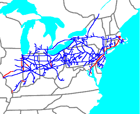
English: Conrail System Map |
| Source | Own work |
| Author | Central Data Bank (talk) |
Licensing
en:User:CSX,LLC, the copyright holder of this work, hereby publishes it under the following license:
This file is licensed under the Creative Commons Attribution 3.0 Unported license.
Attribution: en:User:CSX,LLC
- You are free:
- to share – to copy, distribute and transmit the work
- to remix – to adapt the work
- Under the following conditions:
- attribution – You must give appropriate credit, provide a link to the license, and indicate if changes were made. You may do so in any reasonable manner, but not in any way that suggests the licensor endorses you or your use.
Original upload log
Transferred from en.wikipedia to Commons using For the Common Good.
The original description page was here. All following user names refer to en.wikipedia.
| Date/Time | Dimensions | User | Comment |
|---|---|---|---|
| 22:57, 17 June 2009 | 451 × 368 (17,505 bytes) | w:en:Central Data Bank (talk | contribs) | ({{Information |Description = |Source = I created this work entirely by myself. |Date = |Author = ~~~ |other_versions = }}) |
File history
Click on a date/time to view the file as it appeared at that time.
| Date/Time | Thumbnail | Dimensions | User | Comment | |
|---|---|---|---|---|---|
| current | 16:01, 19 May 2013 | | 451 × 368 (17 KB) | Addihockey10 | Transferred from en.wikipedia: see original upload log above |
File usage
The following pages on the English Wikipedia use this file (pages on other projects are not listed):
Global file usage
The following other wikis use this file: