
File:Downtown STL Subway Map.jpg
Size of this preview: 800 × 541 pixels. Other resolutions: 320 × 216 pixels | 640 × 433 pixels | 1,024 × 692 pixels | 1,280 × 865 pixels.
Original file (1,280 × 865 pixels, file size: 305 KB, MIME type: image/jpeg)
Summary[edit]
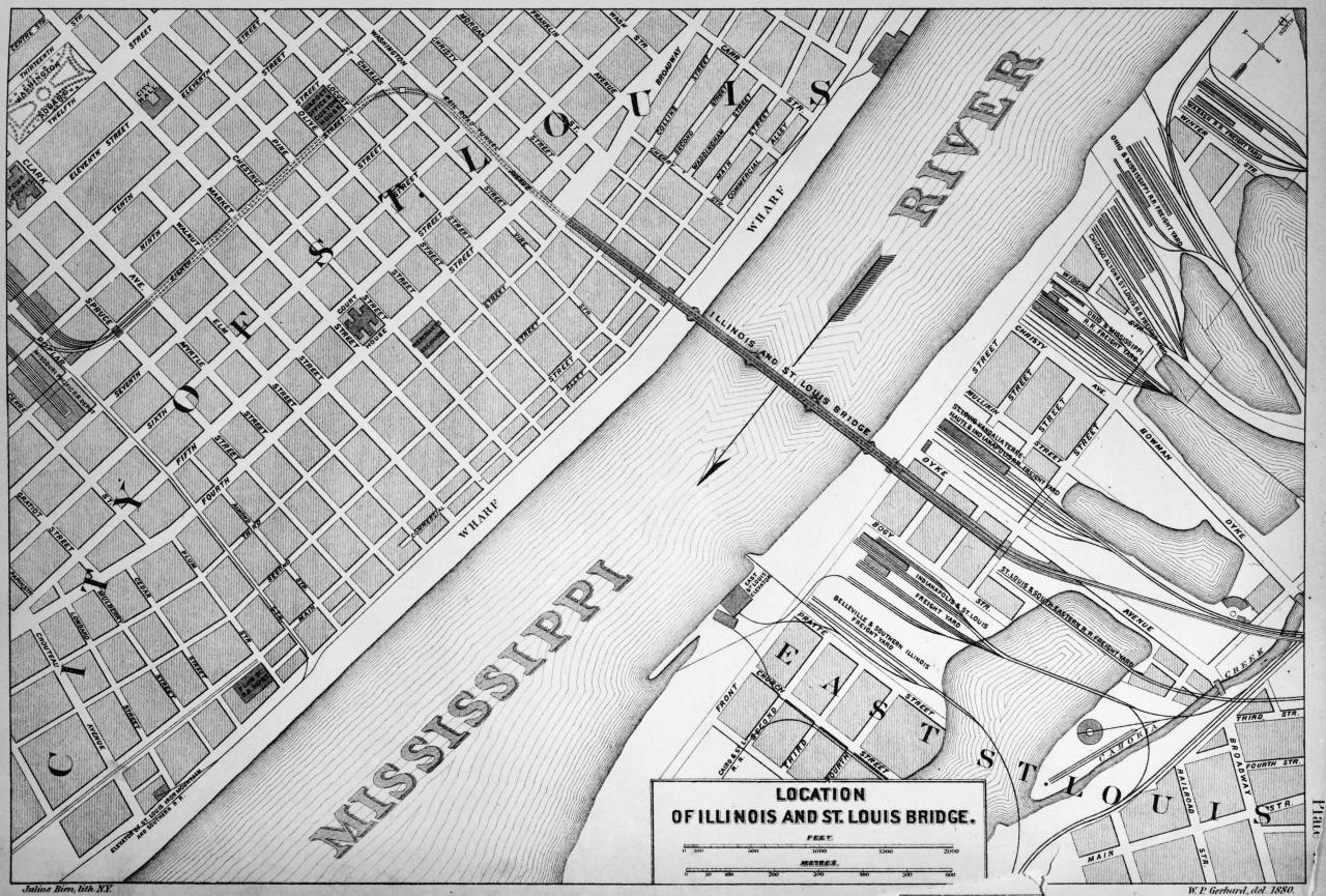
| Description |
An 1880 map of the tunnel route between the Eads Bridge and Mill Creek rail yards in downtown St. Louis | ||
|---|---|---|---|
| Source |
http://wikimapia.org/37731160/St-Louis-Freight-Tunnel-1875#/photo/6579634 | ||
| Date |
1880 | ||
| Author |
| ||
| Permission (Reusing this file) |
See below.
|
| This work is in the public domain in the United States because it was published (or registered with the U.S. Copyright Office) before January 1, 1929. |
File history
Click on a date/time to view the file as it appeared at that time.
| Date/Time | Thumbnail | Dimensions | User | Comment | |
|---|---|---|---|---|---|
| current | 06:17, 8 November 2022 | | 1,280 × 865 (305 KB) | Lightmetro (talk | contribs) | Uploaded by AD88 to Wikimapia. It is an open content website. Also seems like a map/schematic from the 1800s would likely be free and open content at this point in time. <ref>http://wikimapia.org/37731160/St-Louis-Freight-Tunnel-1875</ref> <ref>http://wikimapia.org/37731160/St-Louis-Freight-Tunnel-1875#/photo/6579634</ref> |
You cannot overwrite this file.
File usage
The following pages on the English Wikipedia use this file (pages on other projects are not listed):