
File:Entrance to Baty's Marsh, Borstal - geograph.org.uk - 1057895.jpg
No higher resolution available.
Entrance_to_Baty's_Marsh,_Borstal_-_geograph.org.uk_-_1057895.jpg (640 × 481 pixels, file size: 112 KB, MIME type: image/jpeg)
| This is a file from the Wikimedia Commons. Information from its description page there is shown below. Commons is a freely licensed media file repository. You can help. |
Summary
| Description |
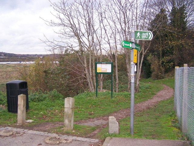
English: Entrance to Baty's Marsh, Borstal On bend in road on Manor Lane. Also on the Saxon Shore Way (long-distance footpath), also Maidstone Centenary Walk (Maidstone to Medway).
Baty's Marsh, a local Nature Reserve, is one of the few remaining salt marshes within the area of Rochester. The marshes are important for their variety of coastal plants and as a feeding area for wetland birds. |
| Date | |
| Source | From geograph.org.uk |
| Author | David Anstiss |
| Attribution (required by the license) | David Anstiss / Entrance to Baty's Marsh, Borstal / |
| Camera location | | View this and other nearby images on: OpenStreetMap |
|---|
_heading:22.00&language=en)
| Object location | | View this and other nearby images on: OpenStreetMap |
|---|
_heading:22.00&language=en)
Licensing

|
This image was taken from the Geograph project collection. See this photograph's page on the Geograph website for the photographer's contact details. The copyright on this image is owned by David Anstiss and is licensed for reuse under the Creative Commons Attribution-ShareAlike 2.0 license.
|
This file is licensed under the Creative Commons Attribution-Share Alike 2.0 Generic license.
Attribution: David Anstiss
- You are free:
- to share – to copy, distribute and transmit the work
- to remix – to adapt the work
- Under the following conditions:
- attribution – You must give appropriate credit, provide a link to the license, and indicate if changes were made. You may do so in any reasonable manner, but not in any way that suggests the licensor endorses you or your use.
- share alike – If you remix, transform, or build upon the material, you must distribute your contributions under the same or compatible license as the original.
File history
Click on a date/time to view the file as it appeared at that time.
| Date/Time | Thumbnail | Dimensions | User | Comment | |
|---|---|---|---|---|---|
| current | 00:33, 24 February 2011 | | 640 × 481 (112 KB) | GeographBot | == {{int:filedesc}} == {{Information |description={{en|1=Entrance to Baty's Marsh, Borstal On bend in road on Manor Lane. Also on the Saxon Shore Way (long-distance footpath), also Maidstone Centenary Walk (Maidstone to Medway). Baty's Marsh, a local Nat |
File usage
The following pages on the English Wikipedia use this file (pages on other projects are not listed):
Global file usage
The following other wikis use this file:
- Usage on www.wikidata.org