
File:Eroding Mesas Forming Seif and Barchan Dunes in Hellespontus region.jpg

Size of this preview: 800 × 600 pixels. Other resolutions: 320 × 240 pixels | 640 × 480 pixels | 1,024 × 768 pixels | 1,280 × 960 pixels | 2,560 × 1,920 pixels.
Original file (2,560 × 1,920 pixels, file size: 2.15 MB, MIME type: image/jpeg)
| This is a file from the Wikimedia Commons. Information from its description page there is shown below. Commons is a freely licensed media file repository. You can help. |
| Description |
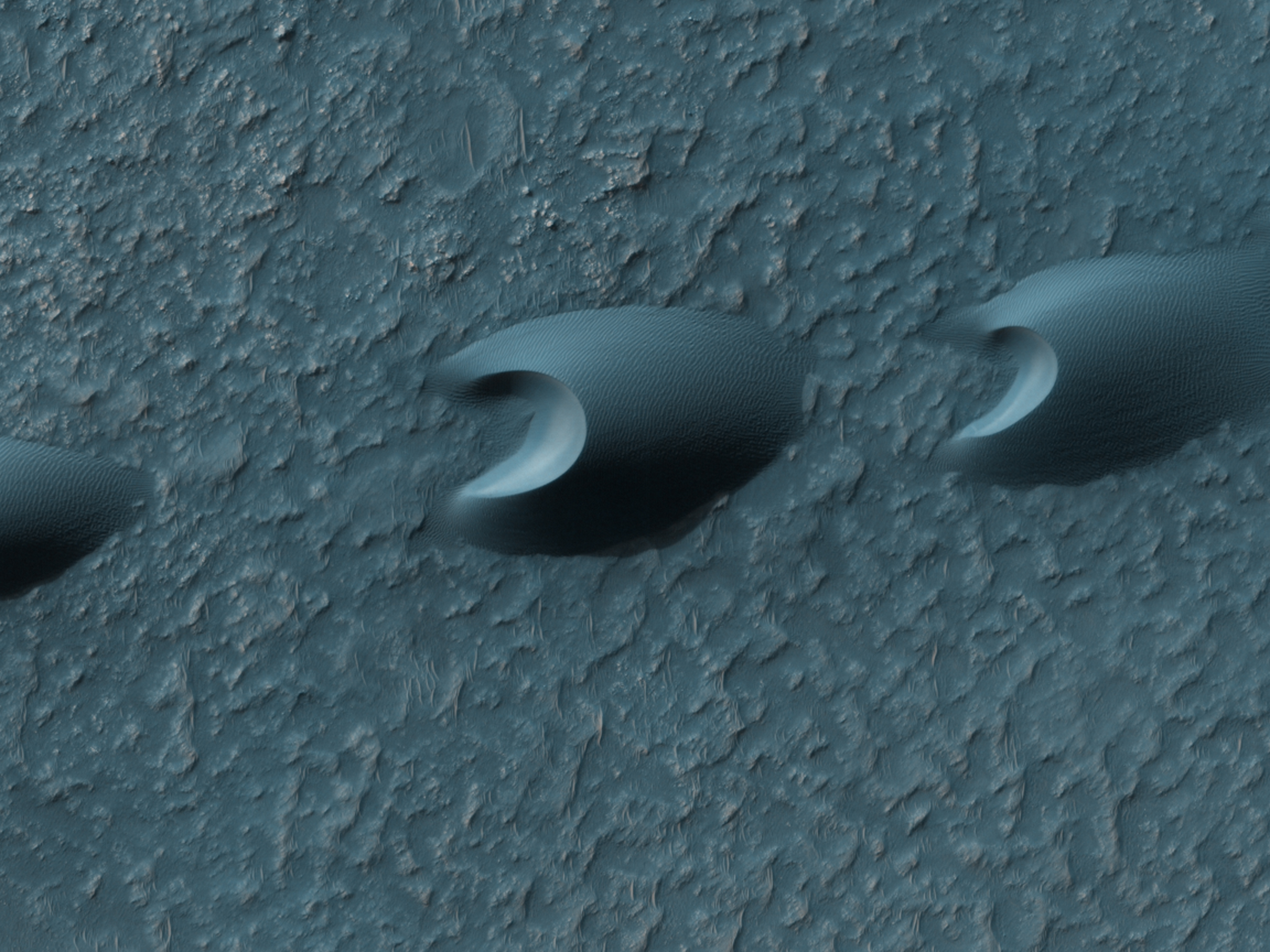
English: Barchan dunes on Mars's Hellespontus region as seen by HiRISE on the Mars Reconnaissance Orbiter. These dunes are formed into a saif, a linear formation parallel to the direction of the wind. See File:Barchan in Noachis.jpg for a similar formation in Noachis Terra.
Ελληνικά: Μηνοειδείς θίνες στην επιφάνεια του Άρη, στην περιοχή Hellespontus. Εικόνα από το τηλεσκόπιο HiRISE, στη διαστημοσυσκευή Mars Reconnaissance Orbiter της NASA. |
|||||
| Date | ||||||
| Source | HiRISE webpage, description, file | |||||
| Author | NASA/JPL/University of Arizona | |||||
| Permission (Reusing this file) |
|

| Location on Mars | View this and other nearby images on: Google Maps |
|---|
File history
Click on a date/time to view the file as it appeared at that time.
| Date/Time | Thumbnail | Dimensions | User | Comment | |
|---|---|---|---|---|---|
| current | 14:14, 17 September 2011 | | 2,560 × 1,920 (2.15 MB) | Badseed | {{Information |Description={{en|Barchan dunes on Mars's Hellespontus region as seen by HiRISE on the Mars Reconnaissance Orbiter. These dunes are formed into a ''saif'', a linear formation parallel to the direction of the wind. See [[:Fil |
File usage
The following pages on the English Wikipedia use this file (pages on other projects are not listed):
Global file usage
The following other wikis use this file:
- Usage on vi.wikipedia.org