
File:Florida Political Map Kwh.SVG

Size of this PNG preview of this SVG file: 800 × 580 pixels. Other resolutions: 320 × 232 pixels | 640 × 464 pixels | 1,024 × 742 pixels | 1,280 × 927 pixels | 2,560 × 1,855 pixels | 1,485 × 1,076 pixels.
Original file (SVG file, nominally 1,485 × 1,076 pixels, file size: 1.23 MB)
![]() ✓
The source code of this SVG is valid.
✓
The source code of this SVG is valid.
Summary[edit]
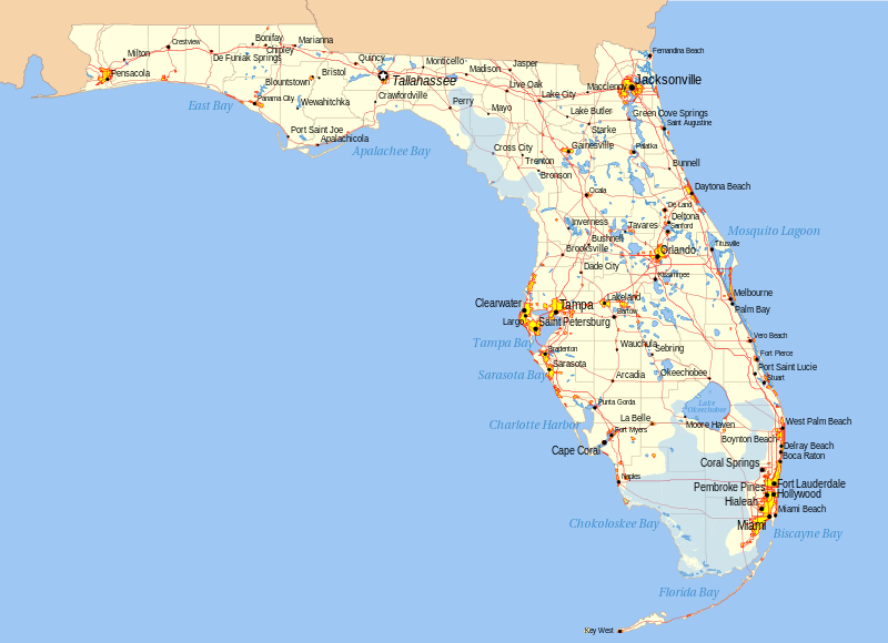
I, User:Kwh created this myself using GIS tools and USGS data. Just a test upload for comment, will upload to commons once I work out the bugs.
Licensing[edit]
| This work is licensed under the Creative Commons Attribution-ShareAlike 2.5 License. |
 | This file is a candidate to be copied to Wikimedia Commons.
Any user may perform this transfer; refer to Wikipedia:Moving files to Commons for details. If this file has problems with attribution, copyright, or is otherwise ineligible for Commons, then remove this tag and DO NOT transfer it; repeat violators may be blocked from editing. Other Instructions
| ||
| |||
File history
Click on a date/time to view the file as it appeared at that time.
| Date/Time | Thumbnail | Dimensions | User | Comment | |
|---|---|---|---|---|---|
| current | 04:46, 14 December 2023 | | 1,485 × 1,076 (1.23 MB) | Minorax (talk | contribs) | fix // Editing SVG source code using c:User:Rillke/SVGedit.js |
| 04:45, 14 December 2023 |  | 1,485 × 1,076 (1.23 MB) | Minorax (talk | contribs) | fix // Editing SVG source code using c:User:Rillke/SVGedit.js | |
| 05:03, 11 April 2006 |  | 1,485 × 1,076 (1.25 MB) | Kwh (talk | contribs) | Version 5, created by me | |
| 05:49, 4 April 2006 |  | 1,000 × 750 (2.41 MB) | Kwh (talk | contribs) | This file was created by me, User:Kwh, using GIS tools. | |
| 04:50, 4 April 2006 |  | 1,000 × 750 (2.38 MB) | Kwh (talk | contribs) | I, User:Kwh created this myself using GIS tools and USGS data. Just a test upload for comment, will upload to commons once I work out the bugs. |
You cannot overwrite this file.
File usage
The following pages on the English Wikipedia use this file (pages on other projects are not listed):