
File:Green Belt in Edgewood.jpg

Size of this preview: 800 × 600 pixels. Other resolutions: 320 × 240 pixels | 640 × 480 pixels | 1,024 × 768 pixels | 1,280 × 960 pixels | 2,272 × 1,704 pixels.
Original file (2,272 × 1,704 pixels, file size: 1.67 MB, MIME type: image/jpeg)
| This is a file from the Wikimedia Commons. Information from its description page there is shown below. Commons is a freely licensed media file repository. You can help. |
| Camera location | | View this and other nearby images on: OpenStreetMap |
|---|
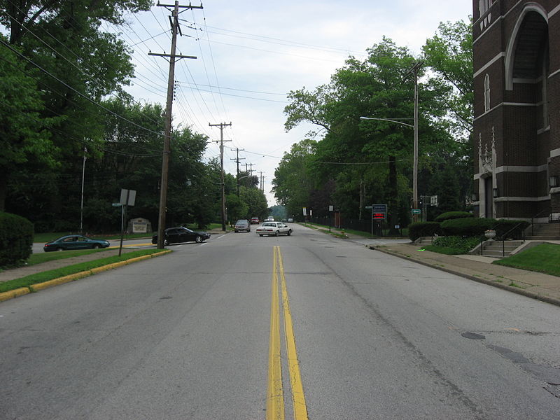
| Description | View along northbound Swissvale Avenue (the Green Belt) in the borough of Edgewood, an eastside suburb of Pittsburgh, Pennsylvania, United States. The church to the right is Edgewood Presbyterian Church (a Pittsburgh History and Landmarks Foundation site), and the Edgewood borough building is just off the left edge of the picture. Intersection is Swissvale and Race/School. | ||
| Date | Taken on 12 July 2008 | ||
| Source | Own work | ||
| Author | User:Nyttend | ||
| Permission (Reusing this file) |
|
File history
Click on a date/time to view the file as it appeared at that time.
| Date/Time | Thumbnail | Dimensions | User | Comment | |
|---|---|---|---|---|---|
| current | 00:42, 23 September 2008 | | 2,272 × 1,704 (1.67 MB) | Nyttend | {{Location|40|26|1.464|N|79|53|2.724|W}} {{Information |Description=View along northbound Swissvale Avenue (the {{w|Green Belt (Pittsburgh)|Green Belt}}) in the {{w|Borough (Pennsylvania)|borough}} of {{w|Edgewood, Allegheny County, Pennsylvania|Edgewood} |
File usage
The following pages on the English Wikipedia use this file (pages on other projects are not listed):