
File:Internationalwaters.png
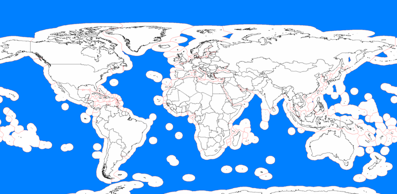
Size of this preview: 800 × 391 pixels. Other resolutions: 320 × 156 pixels | 640 × 313 pixels | 1,024 × 501 pixels | 1,280 × 626 pixels | 2,410 × 1,178 pixels.
Original file (2,410 × 1,178 pixels, file size: 186 KB, MIME type: image/png)
| This is a file from the Wikimedia Commons. Information from its description page there is shown below. Commons is a freely licensed media file repository. You can help. |
Summary
| Description |
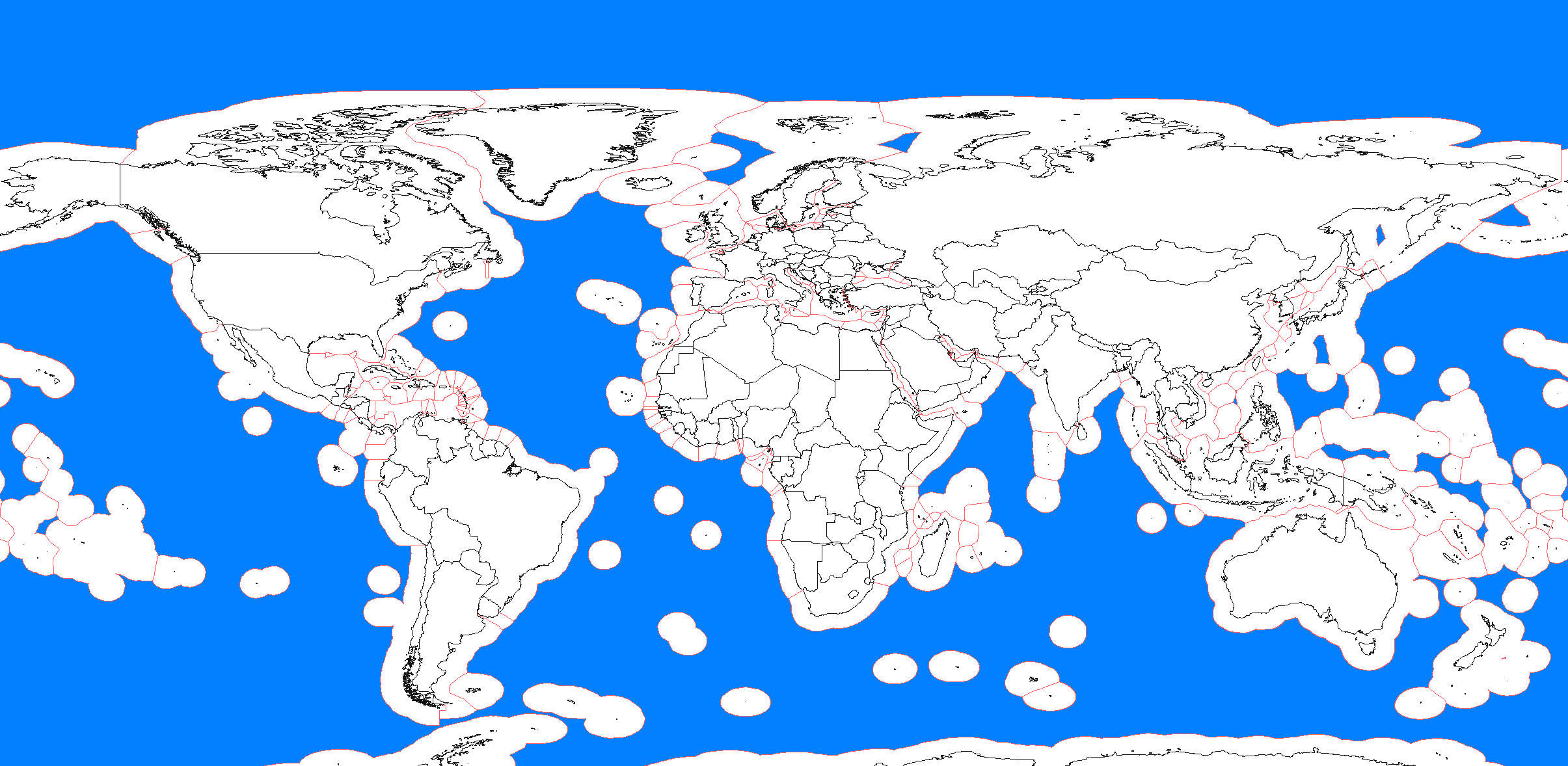
English: Areas outside of exclusive economic zones in bright blue.
Created by Kvasir Українська: Міжнародні води позначені блакиттю. |
| Date | 24 April 2008 (original upload date) |
| Source | Transferred from en.wikipedia to Commons by The Bushranger using CommonsHelper. |
| Author | Kvasir at English Wikipedia |

|
This map image could be re-created using vector graphics as an SVG file. This has several advantages; see Commons:Media for cleanup for more information. If an SVG form of this image is available, please upload it and afterwards replace this template with
{{vector version available|new image name}}.
It is recommended to name the SVG file “Internationalwaters.svg”—then the template Vector version available (or Vva) does not need the new image name parameter. |
Licensing
Kvasir at English Wikipedia, the copyright holder of this work, hereby publishes it under the following licenses:
This file is licensed under the Creative Commons Attribution-Share Alike 3.0 Unported, 2.5 Generic, 2.0 Generic and 1.0 Generic license.
Attribution: Kvasir at English Wikipedia
- You are free:
- to share – to copy, distribute and transmit the work
- to remix – to adapt the work
- Under the following conditions:
- attribution – You must give appropriate credit, provide a link to the license, and indicate if changes were made. You may do so in any reasonable manner, but not in any way that suggests the licensor endorses you or your use.
- share alike – If you remix, transform, or build upon the material, you must distribute your contributions under the same or compatible license as the original.

|
Permission is granted to copy, distribute and/or modify this document under the terms of the GNU Free Documentation License, Version 1.2 or any later version published by the Free Software Foundation; with no Invariant Sections, no Front-Cover Texts, and no Back-Cover Texts. A copy of the license is included in the section entitled GNU Free Documentation License. |
You may select the license of your choice.
Original upload log
The original description page was here. All following user names refer to en.wikipedia.
- 2008-04-24 22:12 Kvasir 2410×1178× (190236 bytes) [[International waters]] in blue Created by [[user:kvasir]]
File history
Click on a date/time to view the file as it appeared at that time.
| Date/Time | Thumbnail | Dimensions | User | Comment | |
|---|---|---|---|---|---|
| current | 18:52, 28 September 2021 | | 2,410 × 1,178 (186 KB) | M.Bitton | Reverted to version as of 03:53, 12 June 2012 (UTC): no reason to remove the WS border |
| 16:39, 12 September 2021 | 2,682 × 1,062 (142 KB) | Maisrimer | Actualised since discussion file. South-Sudan & East-Timor added. Differenciated EEZ. | ||
| 03:53, 12 June 2012 |  | 2,410 × 1,178 (186 KB) | File Upload Bot (Magnus Manske) | Transfered from en.wikipedia by User:The Bushranger using CommonsHelper |
File usage
The following pages on the English Wikipedia use this file (pages on other projects are not listed):
Global file usage
The following other wikis use this file:
- Usage on br.wikipedia.org
- Usage on ckb.wikipedia.org
- Usage on eo.wikipedia.org
- Usage on es.wikipedia.org
- Usage on fa.wikipedia.org
- Usage on fr.wikipedia.org
- Usage on ga.wikipedia.org
- Usage on ru.wikipedia.org
- Usage on uk.wikipedia.org
- Usage on www.wikidata.org