
File:Karte Deutschland.svg

Size of this PNG preview of this SVG file: 443 × 599 pixels. Other resolutions: 177 × 240 pixels | 355 × 480 pixels | 567 × 768 pixels | 757 × 1,024 pixels | 1,513 × 2,048 pixels | 592 × 801 pixels.
Original file (SVG file, nominally 592 × 801 pixels, file size: 208 KB)
| This is a file from the Wikimedia Commons. Information from its description page there is shown below. Commons is a freely licensed media file repository. You can help. |
| Description |
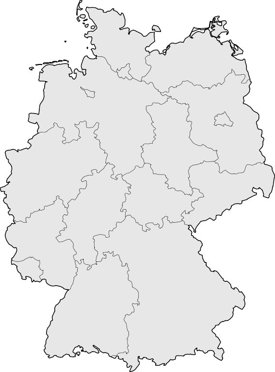
Deutsch: Karte der Bundesrepublik Deutschland mit den Grenzen der 16 Bundesländer.
English: Map of Germany with the borders of the 16 federal states.
|
| Date | |
| Source | Based on Image:Karte Deutsche Bundesländer (nummeriert).svg, color scheme of Image:Karte Deutschland.png applied. |
| Author | David Liuzzo |
| Permission (Reusing this file) |
This file is licensed under the Creative Commons Attribution-Share Alike 2.0 Germany license.
 |
| Other versions |
Derivative works of this file:
|
| SVG development | This map was created with Adobe Illustrator, with Sodipodi |


.svg)
File history
Click on a date/time to view the file as it appeared at that time.
| Date/Time | Thumbnail | Dimensions | User | Comment | |
|---|---|---|---|---|---|
| current | 08:51, 18 March 2008 | | 592 × 801 (208 KB) | TMg | Border lines a little bit darker so they are equal when viewing both images in the same size, e.g. 140px. |
| 20:34, 20 August 2007 |  | 592 × 801 (209 KB) | Kjunix | {{Information| |Description= {{de|Karte der Bundesrepublik Deutschland mit eingezeichneten Grenzen der Bundesländer.}} |Source=based on Karte Deutsche Bundesländer (nummeriert).svg, color schem |
.svg)
File usage
No pages on the English Wikipedia use this file (pages on other projects are not listed).