
File:Lake O the Pines Texas.jpg
Size of this preview: 800 × 533 pixels. Other resolutions: 320 × 213 pixels | 640 × 427 pixels | 1,024 × 683 pixels | 1,500 × 1,000 pixels.
Original file (1,500 × 1,000 pixels, file size: 268 KB, MIME type: image/jpeg)
| This is a file from the Wikimedia Commons. Information from its description page there is shown below. Commons is a freely licensed media file repository. You can help. |
| Description |
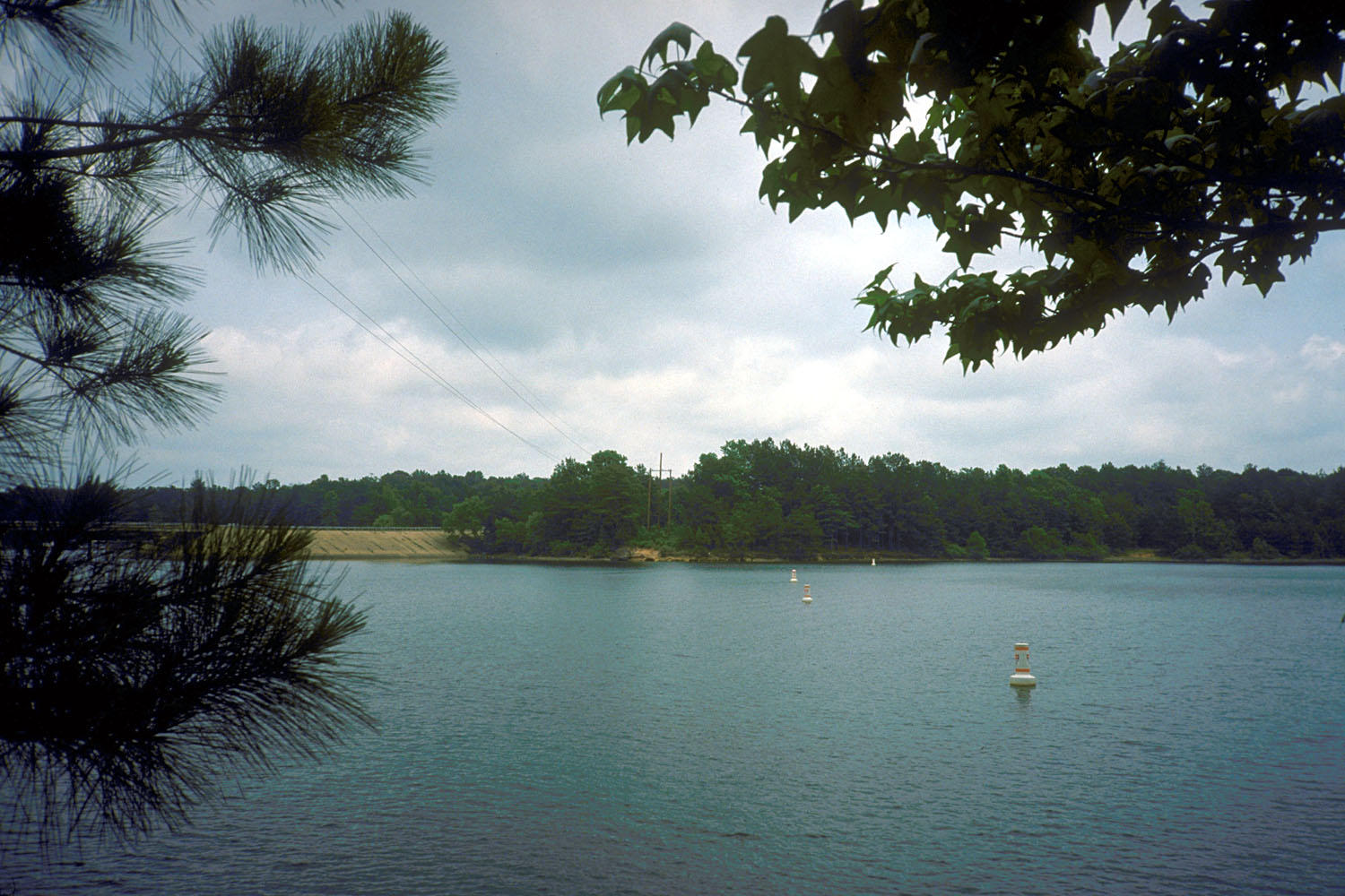
English: Lake O’ the Pines on Big Cypress Bayou, Marion County, Texas, USA. The lake is impounded by Ferrells Bridge Dam, a concrete-and-earthfill dam that is over 2 miles (3.2 km) long. The U.S. Army Corps of Engineers constructed the dam in 1951 for flood control and water supply.
Coordinates: 32°46′14″N 94°32′34″W / 32.77056°N 94.54278°W |
|||
| Location | Marion County, Texas, USA | |||
| Date | not specified or unknown | |||
| Source |
U.S. Army Corps of Engineers Digital Visual Library Image page Image description page Digital Visual Library home page |
|||
| Author | U.S. Army Corps of Engineers, photographer not specified or unknown | |||
| Permission (Reusing this file) |
|
File history
Click on a date/time to view the file as it appeared at that time.
| Date/Time | Thumbnail | Dimensions | User | Comment | |
|---|---|---|---|---|---|
| current | 04:48, 19 May 2007 | | 1,500 × 1,000 (268 KB) | DanMS | {{Information | Description = {{en|Lake O’ the Pines on Big Cypress Bayou, Marion County, Texas, USA. The lake is impounded by Ferrells Bridge Dam, a concrete-and-earthfill dam that is over 2 miles (3.2 km) long. The U.S. Army Corps of Engineers cons |
File usage
The following pages on the English Wikipedia use this file (pages on other projects are not listed):
Global file usage
The following other wikis use this file:
- Usage on ceb.wikipedia.org
- Usage on de.wikipedia.org
- Usage on www.wikidata.org