
File:Langenhagen Konzentrationslager Memorial.jpg

Original file (1,600 × 2,400 pixels, file size: 616 KB, MIME type: image/jpeg)
| This is a file from the Wikimedia Commons. Information from its description page there is shown below. Commons is a freely licensed media file repository. You can help. |
Summary
| Description |
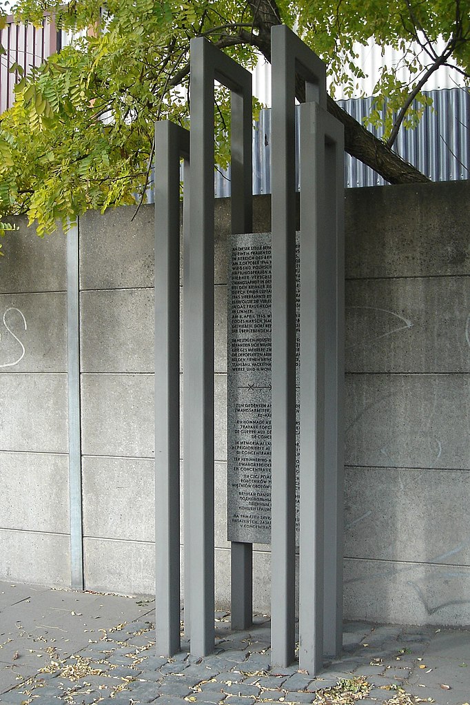
English: Langenhagen concentration camp memorial
Deutsch: Stele Konzentrationslager Langenhagen
Inscription/Inschrift:
|
||||||||||||||||
| Date | |||||||||||||||||
| Source | Own work | ||||||||||||||||
| Author |
|
||||||||||||||||
| Camera location | | View this and other nearby images on: OpenStreetMap |
|---|
Licensing
- You are free:
- to share – to copy, distribute and transmit the work
- to remix – to adapt the work
- Under the following conditions:
- attribution – You must give appropriate credit, provide a link to the license, and indicate if changes were made. You may do so in any reasonable manner, but not in any way that suggests the licensor endorses you or your use.
- share alike – If you remix, transform, or build upon the material, you must distribute your contributions under the same or compatible license as the original.

File history
Click on a date/time to view the file as it appeared at that time.
| Date/Time | Thumbnail | Dimensions | User | Comment | |
|---|---|---|---|---|---|
| current | 10:09, 21 September 2007 | | 1,600 × 2,400 (616 KB) | Tim Rademacher | {{Information |Description={{en|Langenhagen concentration camp memorial}} {{de|Stele Konzentrationslager Langenhagen}} |Source=own work |Date=created 2007-09-21 |Author=Tim Schredder |Permission={{Cc-by-sa-2.0-de}} }} {{Location dec |
File usage
Global file usage
The following other wikis use this file:
- Usage on azb.wikipedia.org
- Usage on ca.wikipedia.org
- Usage on da.wikipedia.org
- Usage on de.wikipedia.org
- Usage on es.wikipedia.org
- Usage on et.wikipedia.org
- Usage on fa.wikipedia.org
- Usage on hy.wikipedia.org
- Usage on ja.wikipedia.org
- Usage on ru.wikipedia.org
- Usage on www.wikidata.org