
File:Localizador de Sub-barrios de Santurce.png

Size of this preview: 800 × 313 pixels. Other resolutions: 320 × 125 pixels | 640 × 251 pixels | 1,024 × 401 pixels | 1,280 × 501 pixels | 5,024 × 1,968 pixels.
Original file (5,024 × 1,968 pixels, file size: 1.24 MB, MIME type: image/png)
| This is a file from the Wikimedia Commons. Information from its description page there is shown below. Commons is a freely licensed media file repository. You can help. |
Summary
| Description |
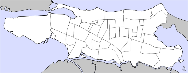
English: Sub-barrios of Santurce, Puerto Rico
Español: Sub-barrios de Santurce, Puerto Rico |
| Date | |
| Source | Own work |
| Author | Javier Rodriguez Galarza |
Licensing
I, the copyright holder of this work, hereby publish it under the following licenses:

|
Permission is granted to copy, distribute and/or modify this document under the terms of the GNU Free Documentation License, Version 1.2 or any later version published by the Free Software Foundation; with no Invariant Sections, no Front-Cover Texts, and no Back-Cover Texts. A copy of the license is included in the section entitled GNU Free Documentation License. |
This file is licensed under the Creative Commons Attribution 3.0 Unported license.
- You are free:
- to share – to copy, distribute and transmit the work
- to remix – to adapt the work
- Under the following conditions:
- attribution – You must give appropriate credit, provide a link to the license, and indicate if changes were made. You may do so in any reasonable manner, but not in any way that suggests the licensor endorses you or your use.
You may select the license of your choice.
File history
Click on a date/time to view the file as it appeared at that time.
| Date/Time | Thumbnail | Dimensions | User | Comment | |
|---|---|---|---|---|---|
| current | 22:08, 15 May 2010 | 5,024 × 1,968 (1.24 MB) | Javierpuertorico | Change to blank map since numbers were added as image labels | |
| 15:30, 30 April 2010 | 5,024 × 1,968 (1.32 MB) | Javierpuertorico | North locator graphic change | ||
| 15:43, 28 April 2010 | 5,024 × 1,968 (1.34 MB) | Javierpuertorico | {{Information |Description={{en|1=Sub-barrios of Santurce, Puerto Rico}} {{es|1=Sub-barrios de Santurce, Puerto Rico}} |Source=Own work |Author=Javier Rodriguez Galarza |Date=28 de abril de 2010 |Permission= |other_versions= }} | ||
| 14:58, 28 April 2010 | 5,024 × 1,968 (1.27 MB) | Javierpuertorico | {{Information |Description={{en|1=Sub-barrios of Santurce}} {{es|1=Sub-barrios de Santurce}} |Source={{own}} |Author=Javier Rodriguez Galarza |Date=28 de abril de 2010 |Permission= |other_versions= }} Category:Mapas de Puerto Rico [[Category:Mapas de |
File usage
The following pages on the English Wikipedia use this file (pages on other projects are not listed):
Global file usage
The following other wikis use this file:
- Usage on es.wikipedia.org
- Usage on fr.wikipedia.org