
File:Location Sealand.png
No higher resolution available.
Location_Sealand.png (336 × 359 pixels, file size: 7 KB, MIME type: image/png)
| This is a file from the Wikimedia Commons. Information from its description page there is shown below. Commons is a freely licensed media file repository. You can help. |
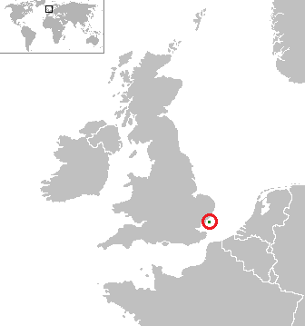
| Description | Location of Sealand, with political borders of nearby states |
| Date | (UTC) |
| Source | rendered from Image:World map blank gmt.png |
| Author | Jack · talk · |
| |
This work has been released into the public domain by its author, jrockley, at the English Wikipedia project. This applies worldwide. In case this is not legally possible: |
File history
Click on a date/time to view the file as it appeared at that time.
| Date/Time | Thumbnail | Dimensions | User | Comment | |
|---|---|---|---|---|---|
| current | 18:31, 1 April 2023 | | 336 × 359 (7 KB) | Bcxfu75k | 緑の点だけだと分かりづらいので、赤丸で囲みました。 |
| 13:44, 4 June 2007 |  | 336 × 359 (9 KB) | Jrockley | {{Information |Description=Location of Sealand |Source=rendered from Image:World map blank gmt.png |Date=~~~~~ |Author=~~~ |Permission= |other_versions= }} {{PD-user-w|en|English Wikipedia|jrockley}} |
File usage
The following pages on the English Wikipedia use this file (pages on other projects are not listed):
Global file usage
The following other wikis use this file:
- Usage on br.wikipedia.org
- Usage on ja.wikipedia.org
- Usage on ky.wikipedia.org
- Usage on lt.wiktionary.org
- Usage on ro.wikipedia.org
- Usage on srn.wikipedia.org