
File:Locus 7 Site.jpg
Size of this preview: 800 × 600 pixels. Other resolutions: 320 × 240 pixels | 640 × 480 pixels | 1,024 × 768 pixels | 1,280 × 960 pixels | 2,560 × 1,920 pixels | 2,816 × 2,112 pixels.
Original file (2,816 × 2,112 pixels, file size: 3.95 MB, MIME type: image/jpeg)
| This is a file from the Wikimedia Commons. Information from its description page there is shown below. Commons is a freely licensed media file repository. You can help. |
|
This is an image of a place or building that is listed on the National Register of Historic Places in the United States of America. Its reference number is 80003495. |
| Camera location | | View this and other nearby images on: OpenStreetMap |
|---|
| Description |
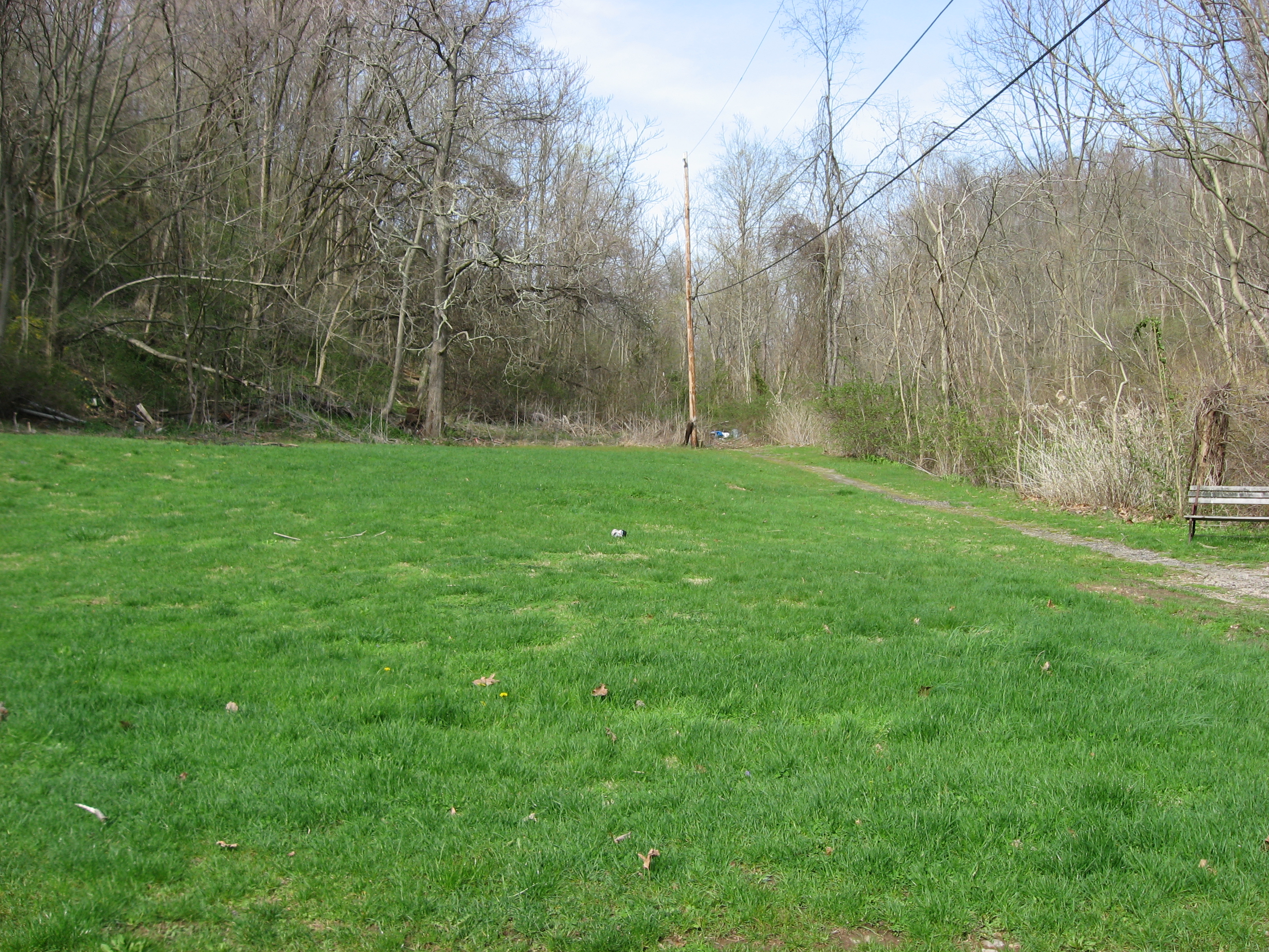
English: Overview of the Locus 7 Site, located above Downers Run north of Fayette City in Washington Township, Fayette County, Pennsylvania, United States. The Locus 7 Site is an archaeological site that was once a village of the Monongahela culture of Native Americans. It is listed on the National Register of Historic Places. |
||
| Date | Taken on 15 April 2011 | ||
| Source | Own work | ||
| Author | Nyttend | ||
| Permission (Reusing this file) |
|
File history
Click on a date/time to view the file as it appeared at that time.
| Date/Time | Thumbnail | Dimensions | User | Comment | |
|---|---|---|---|---|---|
| current | 17:01, 19 April 2011 | | 2,816 × 2,112 (3.95 MB) | Nyttend | {{Location|39|48|7.2|N|79|51|36|W}} {{Information |Description={{en|Overview of the {{w|Locus 7 Site}}, located above Downers Run north of {{w|Fayette City, Pennsylvania|Fayette City}} in {{w|Washington Township, Fayette County, Pennsylvania|Washington To |
File usage
The following pages on the English Wikipedia use this file (pages on other projects are not listed):
Global file usage
The following other wikis use this file:
- Usage on www.wikidata.org