
File:Maarian kirkko.jpg

Size of this preview: 800 × 575 pixels. Other resolutions: 320 × 230 pixels | 640 × 460 pixels | 1,024 × 736 pixels | 1,200 × 863 pixels.
Original file (1,200 × 863 pixels, file size: 276 KB, MIME type: image/jpeg)
| This is a file from the Wikimedia Commons. Information from its description page there is shown below. Commons is a freely licensed media file repository. You can help. |
| Camera location | | View this and other nearby images on: OpenStreetMap |
|---|
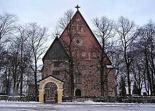
Maarian kirkko / St Mary Church, Turku, Finland.
| This work has been released into the public domain by its author, ekhoc. This applies worldwide. In some countries this may not be legally possible; if so: |
File history
Click on a date/time to view the file as it appeared at that time.
| Date/Time | Thumbnail | Dimensions | User | Comment | |
|---|---|---|---|---|---|
| current | 16:08, 17 April 2005 | | 1,200 × 863 (276 KB) | Ekhoc | Maarian kirkko / St Mary Church, Turku, Finland. {{PD-user|ekhoc}} |
File usage
The following pages on the English Wikipedia use this file (pages on other projects are not listed):
Global file usage
The following other wikis use this file:
- Usage on de.wikipedia.org
- Usage on en.wikivoyage.org
- Usage on fi.wikipedia.org
- Usage on fr.wikipedia.org
- Usage on it.wikivoyage.org
- Usage on koi.wikipedia.org
- Usage on sv.wikipedia.org
- Usage on uk.wikipedia.org
- Usage on www.wikidata.org