
File:Manchester Bolton and Bury canal Red Rock Lane.jpg

Size of this preview: 800 × 600 pixels. Other resolutions: 320 × 240 pixels | 640 × 480 pixels | 1,024 × 768 pixels | 1,280 × 960 pixels | 2,048 × 1,536 pixels.
Original file (2,048 × 1,536 pixels, file size: 956 KB, MIME type: image/jpeg)
| This is a file from the Wikimedia Commons. Information from its description page there is shown below. Commons is a freely licensed media file repository. You can help. |
| Camera location | | View this and other nearby images on: OpenStreetMap |
|---|
Summary
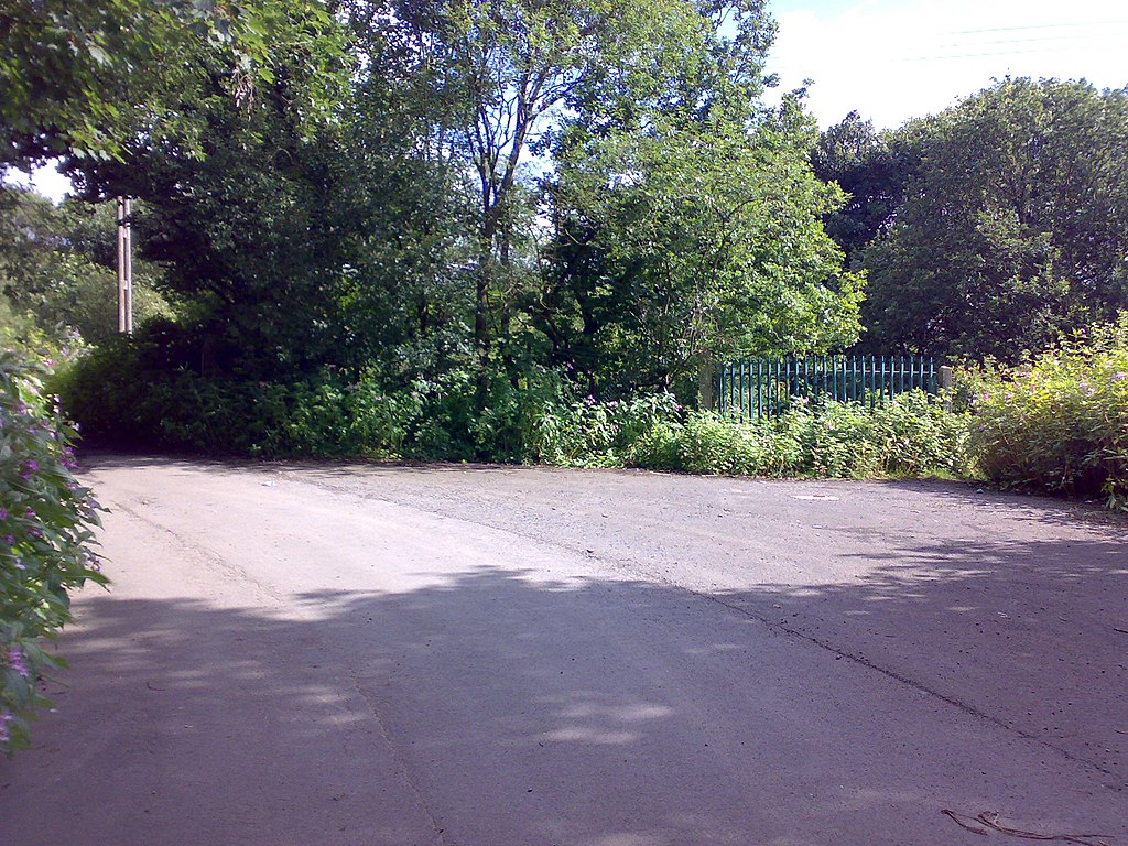
| Description | The gate shows where the canal resumes. There is foot access around the side of the gate, but the path is very badly overgrown. Kilcoby bridge was once here. |
| Date | |
| Source | Own work |
| Author | Parrot of Doom |
Licensing
| This work has been released into the public domain by its author, I, Parrot of Doom. This applies worldwide. In some countries this may not be legally possible; if so: I, Parrot of Doom grants anyone the right to use this work for any purpose, without any conditions, unless such conditions are required by law. |
File history
Click on a date/time to view the file as it appeared at that time.
| Date/Time | Thumbnail | Dimensions | User | Comment | |
|---|---|---|---|---|---|
| current | 10:29, 19 July 2007 | | 2,048 × 1,536 (956 KB) | Parrot of Doom | {{Information |Description=The gate shows where the canal resumes. There is foot access around the side of the gate, but the path is very badly overgrown. |Source=self-made |Date=18 July 2007 |Author= Parrot of Doom }} [[Category |
File usage
No pages on the English Wikipedia use this file (pages on other projects are not listed).