
File:Map of Alexandria Canal.jpg
No higher resolution available.
Map_of_Alexandria_Canal.jpg (600 × 330 pixels, file size: 36 KB, MIME type: image/jpeg)
Summary[edit]
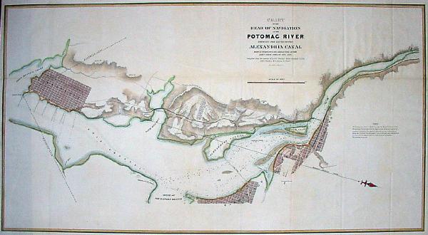
| Description |
Map of Alexandria Canal in Northern Virginia. | ||
|---|---|---|---|
| Source |
Library of Congress image | ||
| Date | |||
| Author |
| ||
| Permission (Reusing this file) |
See below.
|
Licensing[edit]
| This image is in the public domain in the United States. In most cases, this means that it was first published prior to January 1, 1929 (see the template documentation for more cases). Other jurisdictions may have other rules, and this image might not be in the public domain outside the United States. See Wikipedia:Public domain and Wikipedia:Copyrights for more details. |
File history
Click on a date/time to view the file as it appeared at that time.
| Date/Time | Thumbnail | Dimensions | User | Comment | |
|---|---|---|---|---|---|
| current | 22:24, 29 June 2006 | | 600 × 330 (36 KB) | SDC (talk | contribs) | Map of Alexandria Canal in Northern Virginia. Library of Congress image |
You cannot overwrite this file.
File usage
The following pages on the English Wikipedia use this file (pages on other projects are not listed):