
File:Map of Lincoln, Nebraska streets and features.png

Size of this preview: 476 × 600 pixels. Other resolutions: 190 × 240 pixels | 381 × 480 pixels | 609 × 768 pixels | 812 × 1,024 pixels | 1,625 × 2,048 pixels | 10,027 × 12,637 pixels.
Original file (10,027 × 12,637 pixels, file size: 22.65 MB, MIME type: image/png)
| This is a file from the Wikimedia Commons. Information from its description page there is shown below. Commons is a freely licensed media file repository. You can help. |
Summary
| Warning | The original file is very high-resolution. It might not load properly or could cause your browser to freeze when opened at full size. |
|---|
| Description |
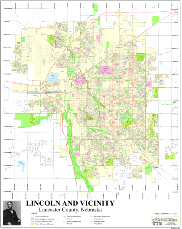
English: Map of Lincoln, Nebraska streets and features. Produced by local government in December 2013. |
| Date | |
| Source | ftp://gisftp.ci.lincoln.ne.us/download/gis/plots/trans/streets.pdf |
| Author | Government of Lincoln, Nebraska |
Updated link: ftp://gisftp.lincoln.ne.gov/download/gis/plots/trans/streets.pdf
Updated link (May 2017): https://www.arcgis.com/sharing/rest/content/items/1562a2633c0b424aa8d1731fdf2f3590/data
Licensing
This work is in the public domain in the U.S. because it is an edict of a government, local or foreign. See § 313.6(C)(2) of the Compendium of U.S. Copyright Office Practices, 3rd ed. 2014 (Compendium (Third)). Such documents include "legislative enactments, judicial decisions, administrative rulings, public ordinances, or similar types of official legal materials."
These do not include works first published by the United Nations or any of its specialized agencies, or by the Organization of American States. See Compendium (Third) § 313.6(C)(2) and 17 U.S.C. § 104(b)(5).
 A non-American governmental edict may still be copyrighted outside the U.S. Similarly, the above U.S. Copyright Office Practice does not prevent U.S. states or localities from holding copyright abroad, depending on foreign copyright laws and regulations.
| |
|
|
File history
Click on a date/time to view the file as it appeared at that time.
| Date/Time | Thumbnail | Dimensions | User | Comment | |
|---|---|---|---|---|---|
| current | 21:37, 12 March 2018 | | 10,027 × 12,637 (22.65 MB) | Hanyou23 | Updated to most recent. |
| 21:30, 19 May 2017 |  | 10,027 × 12,635 (22.74 MB) | Hanyou23 | Updated to May 5, 2017. | |
| 20:52, 10 January 2017 |  | 10,027 × 12,637 (22.47 MB) | Hanyou23 | Updated to January 10, 2017. | |
| 07:17, 11 February 2016 |  | 10,028 × 12,637 (22.37 MB) | Hanyou23 | Updated to current (January 26, 2016). | |
| 23:37, 21 December 2015 |  | 10,028 × 12,637 (18.83 MB) | Hanyou23 | Updated to December 1, 2015. | |
| 21:49, 22 April 2015 |  | 10,027 × 12,637 (19.05 MB) | Hanyou23 | Updated version of map - from 2014 version to 7 April 2015. | |
| 12:09, 11 February 2014 |  | 10,200 × 13,200 (17.43 MB) | CrunchySkies | User created page with UploadWizard |
File usage
No pages on the English Wikipedia use this file (pages on other projects are not listed).