
File:Map of USA OH.svg

Size of this PNG preview of this SVG file: 286 × 186 pixels. Other resolutions: 320 × 208 pixels | 640 × 416 pixels | 1,024 × 666 pixels | 1,280 × 832 pixels | 2,560 × 1,665 pixels.
Original file (SVG file, nominally 286 × 186 pixels, file size: 167 KB)
| This is a file from the Wikimedia Commons. Information from its description page there is shown below. Commons is a freely licensed media file repository. You can help. |
Clickable version
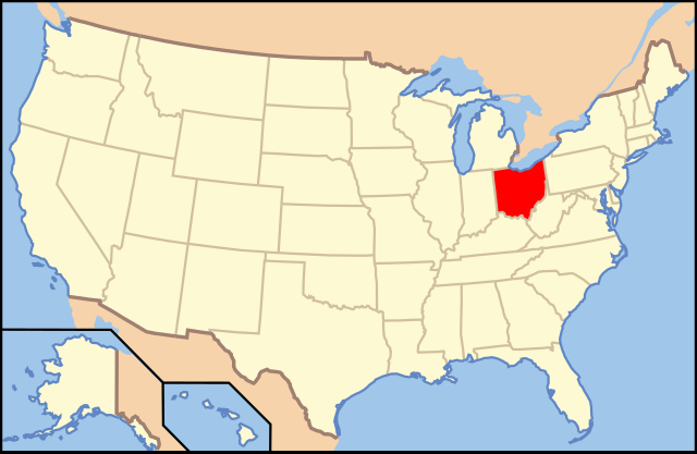
| Description | Map of USA with Ohio highlighted | ||||||||
| Date | see file history below. | ||||||||
| Source | own work by uploader, based on Image:Map of USA without state names.svg | ||||||||
| Author |
This version: uploader Base versions this one is derived from: originally created by en:User:Wapcaplet |
||||||||
| Permission (Reusing this file) |
This file is licensed under the Creative Commons Attribution 2.0 Generic license.
|
||||||||
| Other versions | image:Map of USA with state names.svg |

| Annotations | This image is annotated: View the annotations at Commons |
File history
Click on a date/time to view the file as it appeared at that time.
| Date/Time | Thumbnail | Dimensions | User | Comment | |
|---|---|---|---|---|---|
| current | 09:44, 9 June 2006 | | 286 × 186 (167 KB) | Huebi~commonswiki | {{Information| |Description=Map of USA with Ohio highlighted |other_versions=image:Map of USA with state names.svg }} Category:Maps of the United States Category:Maps of Ohio Category:SVG maps {{GFDL-en}}{{cc-by-2.0}}{{cc-by-sa-1.0}}{{c |
File usage
More than 100 pages use this file. The following list shows the first 100 pages that use this file only. A full list is available.
- 1717 East Ninth Building
- Alkemeyer Commercial Buildings
- Alms and Doepke Dry Goods Company
- Anderson Ferry
- Apostolic Bethlehem Temple Church
- Athens Lunatic Asylum
- Battle of Buffington Island
- Beech Avenue Houses
- Broadway–Slavic Village
- Calvary Episcopal Church (Cincinnati)
- Camp Dennison
- Carew Tower
- Carillon Historical Park
- Cedric G. and Patricia Neils Boulter House
- Cincinnati Observatory
- Cincinnati Times-Star Building
- Cincinnati Union Terminal
- Cleveland Arcade
- Coal Run, Ohio
- Columbus Museum of Art
- Covenant First Presbyterian Church
- Cyrus Broadwell House
- Dayton Street Historic District
- Dayton View Historic District
- Dunbar Historic District
- Federal Reserve Bank of Cleveland
- Fire Museum of Greater Cincinnati
- Forest Hill, Ohio
- Fort Hayes
- Franklin Park Conservatory
- German Village
- Gnadenhutten massacre
- Green Lawn Abbey
- Hamilton Catholic High School
- Harpersfield Covered Bridge
- Haydenville, Ohio
- Home Building Association Bank
- Huffman Historic District
- Irishtown Bend
- Isaac M. Wise Temple
- John C. Wright (Ohio politician)
- Kelleys Island, Ohio
- Kenilworth Avenue Historic District
- Kingwood Center
- Kirtland Temple
- LeVeque Tower
- List of state and territory name etymologies of the United States
- Longworth Hall
- Marblehead Light (Ohio)
- May Company Ohio
- Mount Auburn Historic District
- National Register of Historic Places listings in Cuyahoga County, Ohio
- National Register of Historic Places listings in Erie County, Ohio
- National Register of Historic Places listings in Franklin County, Ohio
- National Register of Historic Places listings in Hamilton County, Ohio
- National Register of Historic Places listings in Ohio
- National Register of Historic Places listings in Summit County, Ohio
- Noah Haynes Swayne
- North High School (Columbus, Ohio)
- Notre Dame College
- Ohio City, Cleveland
- Ohio High School Athletic Association
- Ohio Stadium
- Ohio State Reformatory
- Ohio Statehouse
- Ohio Theatre (Columbus, Ohio)
- Ohio Village
- Ohio and Erie Canal
- Old St. Mary's Church (Cincinnati, Ohio)
- Old Stone Church (Cleveland, Ohio)
- Oregon Historic District
- Over-the-Rhine
- People's Federal Savings and Loan Association
- Peters Cartridge Company
- Prospect Hill, Cincinnati
- Roscoe Village (Coshocton, Ohio)
- Saint Anne's Hill Historic District
- Saint Ignatius High School (Cleveland)
- Samson Mason
- Samuel Herrick (politician)
- Sandusky station
- South Park Historic District (Dayton, Ohio)
- Spring Grove Cemetery
- St. John's Episcopal Church (Cleveland, Ohio)
- St. Theodosius Russian Orthodox Cathedral
- Steele's Hill–Grafton Hill Historic District
- Stivers School for the Arts
- Thomas W. Bartley
- Toledo Yacht Club
- Union Station (Columbus, Ohio)
- Vistula Historic District
- Voice of America Bethany Relay Station
- Warehouse District, Cleveland
- Watertown, Ohio
- West Side Market
- Western Reserve Academy
- William Creighton Jr.
- William McMillan (congressman)
- Windsor Mills Covered Bridge
- Woodland Cemetery and Arboretum
View more links to this file.
Global file usage
The following other wikis use this file:
- Usage on af.wikipedia.org
- Usage on ang.wikipedia.org
- Usage on an.wikipedia.org
- Usage on arc.wikipedia.org
- Usage on ay.wikipedia.org
- Usage on az.wiktionary.org
- Usage on ba.wikipedia.org
- Usage on be-tarask.wikipedia.org
- Usage on bi.wikipedia.org
- Usage on bo.wikipedia.org
- Usage on bpy.wikipedia.org
- Usage on bs.wikipedia.org
- Usage on bxr.wikipedia.org
- Usage on ca.wikipedia.org
- Usage on ce.wikipedia.org
- Usage on co.wikipedia.org
- Usage on cs.wikipedia.org
- Usage on cv.wikipedia.org
- Usage on da.wikipedia.org
- Ohio
- Montgomery County (Ohio)
- Adams County (Ohio)
- Ashland County (Ohio)
- Monroe County (Ohio)
- Athens County
- Ashtabula County
- Huron County (Ohio)
- Hamilton County (Ohio)
- Hancock County (Ohio)
- Allen County (Ohio)
- Auglaize County
- Champaign County (Ohio)
- Cuyahoga County
- Perry County (Ohio)
- Vinton County
- Butler County (Ohio)
- Carroll County (Ohio)
- Erie County (Ohio)
View more global usage of this file.