
File:Map of Washington counties, blank.svg

Size of this PNG preview of this SVG file: 800 × 521 pixels. Other resolutions: 320 × 208 pixels | 640 × 416 pixels | 1,024 × 666 pixels | 1,280 × 833 pixels | 2,560 × 1,666 pixels | 1,781 × 1,159 pixels.
Original file (SVG file, nominally 1,781 × 1,159 pixels, file size: 215 KB)
| This is a file from the Wikimedia Commons. Information from its description page there is shown below. Commons is a freely licensed media file repository. You can help. |
Summary
| Description |
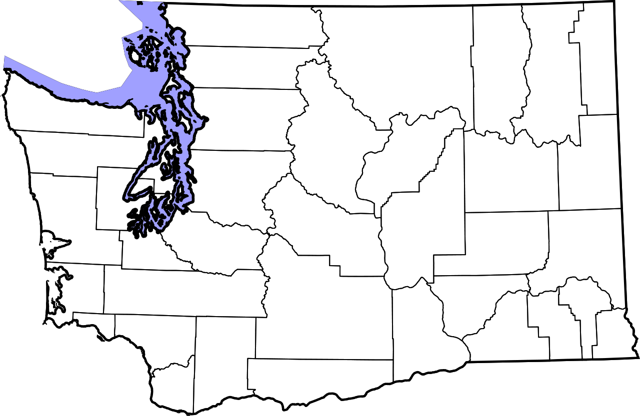
English: An outline map of Washington with county boundaries. This is useful for town locator dots, for example at Olympia, Washington. |
| Date | |
| Source | Own work |
| Author | David Benbennick |
| Other versions |
Derivative works of this file:
|
Licensing
| I, the copyright holder of this work, release this work into the public domain. This applies worldwide. In some countries this may not be legally possible; if so: I grant anyone the right to use this work for any purpose, without any conditions, unless such conditions are required by law. |
File history
Click on a date/time to view the file as it appeared at that time.
| Date/Time | Thumbnail | Dimensions | User | Comment | |
|---|---|---|---|---|---|
| current | 19:06, 14 February 2006 | | 1,781 × 1,159 (215 KB) | Dbenbenn | by me, PD. This is a simple modification of Image:Map of Washington highlighting Thurston County.svg |
File usage
No pages on the English Wikipedia use this file (pages on other projects are not listed).