
File:MedQuarter Regional Medical District (MedQ) Map.png

Size of this preview: 800 × 523 pixels. Other resolutions: 320 × 209 pixels | 640 × 418 pixels | 1,024 × 669 pixels | 1,280 × 836 pixels | 3,028 × 1,978 pixels.
Original file (3,028 × 1,978 pixels, file size: 1.57 MB, MIME type: image/png)
| This is a file from the Wikimedia Commons. Information from its description page there is shown below. Commons is a freely licensed media file repository. You can help. |
_Map.png)
Summary
| Description |
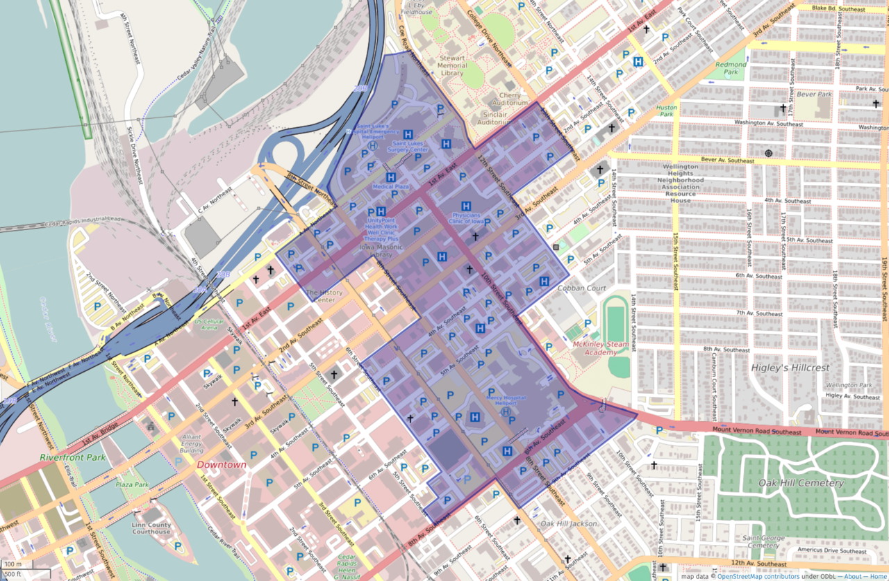
This map of the MedQuarter Regional Medical District was created from OpenStreetMap project data, collected by the community. This map may be incomplete, and may contain errors. Don't rely solely on it for navigation. |
|||
| Date | ||||
| Source | openstreetmap.org | |||
| Creator |
OpenStreetMap contributors |
|||
| Permission (Reusing this file) |
OpenStreetMap data is available under the Open Database License (details). Standard style map tiles are licensed as ODbL Produced Works.
|
|||
| Georeferencing | If inappropriate please set warp_status = skip to hide. |
File history
Click on a date/time to view the file as it appeared at that time.
| Date/Time | Thumbnail | Dimensions | User | Comment | |
|---|---|---|---|---|---|
| current | 19:41, 3 November 2021 | | 3,028 × 1,978 (1.57 MB) | KZeni | Uploaded a work by OpenStreetMap contributors with overlay done by KZeni from http://umap.openstreetmap.fr with UploadWizard |
File usage
The following pages on the English Wikipedia use this file (pages on other projects are not listed):
_Map.png)