
File:Metropolitan Perth.svg

Size of this PNG preview of this SVG file: 430 × 600 pixels. Other resolutions: 172 × 240 pixels | 344 × 480 pixels | 550 × 768 pixels | 734 × 1,024 pixels | 1,468 × 2,048 pixels | 516 × 720 pixels.
Original file (SVG file, nominally 516 × 720 pixels, file size: 697 KB)
| This is a file from the Wikimedia Commons. Information from its description page there is shown below. Commons is a freely licensed media file repository. You can help. |
Summary
| Description |
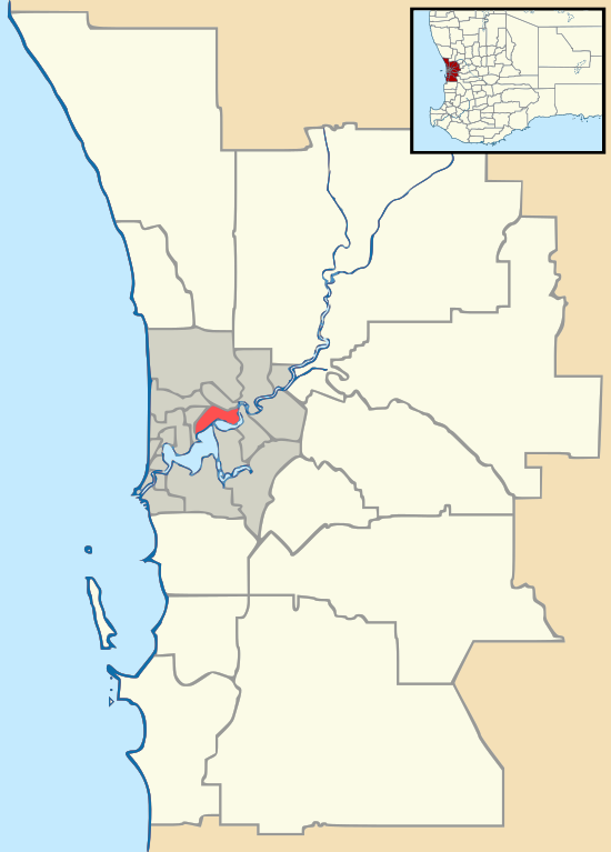
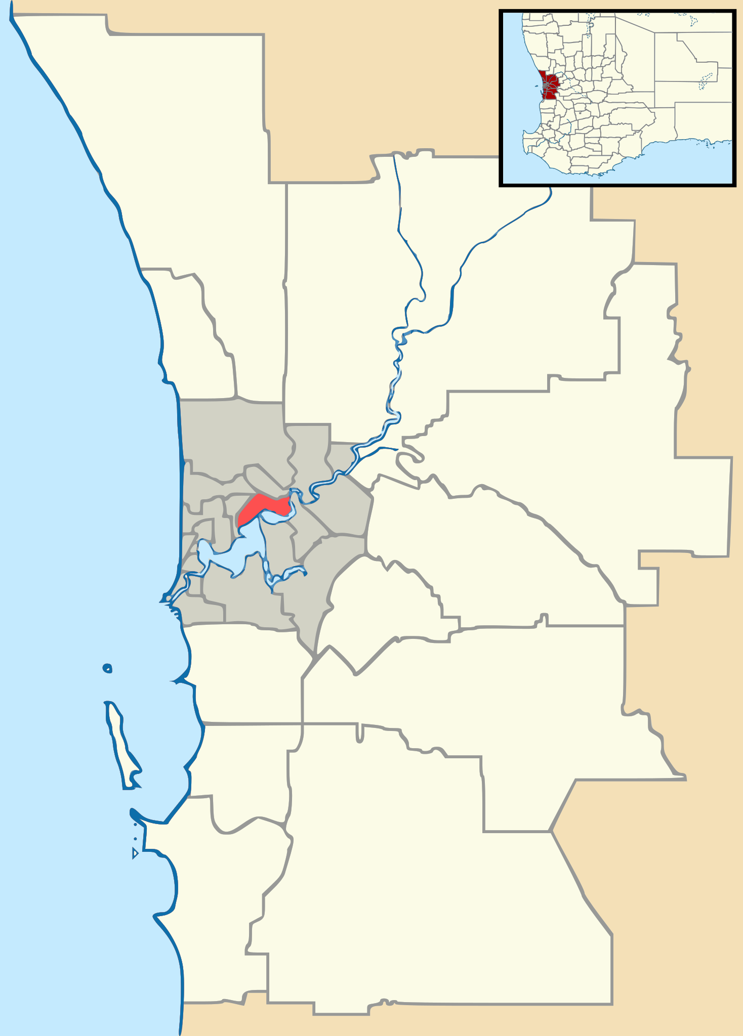
English: Vector map of Perth, Western Australia's metropolitan area, with Local Government Area boundaries. Derived from Gordon Edwards' metropolitan LGA maps. Inset WA map adapted from NordNordWest's WA location map. |
| Date | |
| Source | GordonE, NordNordWest |
| Author | Outrune |
Licensing
This file is licensed under the Creative Commons Attribution-Share Alike 2.5 Generic license.
- You are free:
- to share – to copy, distribute and transmit the work
- to remix – to adapt the work
- Under the following conditions:
- attribution – You must give appropriate credit, provide a link to the license, and indicate if changes were made. You may do so in any reasonable manner, but not in any way that suggests the licensor endorses you or your use.
- share alike – If you remix, transform, or build upon the material, you must distribute your contributions under the same or compatible license as the original.
File history
Click on a date/time to view the file as it appeared at that time.
| Date/Time | Thumbnail | Dimensions | User | Comment | |
|---|---|---|---|---|---|
| current | 10:13, 9 November 2011 | | 516 × 720 (697 KB) | Outrune | Reverted to version as of 06:27, 4 October 2011 |
| 10:10, 9 November 2011 |  | 1,048 × 1,469 (1.7 MB) | Outrune | revised | |
| 06:27, 4 October 2011 |  | 516 × 720 (697 KB) | Outrune | Reverted to version as of 02:54, 1 October 2011 | |
| 13:37, 1 October 2011 |  | 516 × 720 (697 KB) | Outrune | larger | |
| 02:54, 1 October 2011 |  | 516 × 720 (697 KB) | Outrune | colour | |
| 15:58, 30 September 2011 |  | 516 × 720 (689 KB) | Outrune | Larger inset | |
| 10:43, 30 September 2011 |  | 516 × 720 (689 KB) | Outrune | corrected Subiaco boundary, highlighted CBD | |
| 07:26, 30 September 2011 |  | 516 × 720 (669 KB) | Outrune | inset map of south-west WA | |
| 16:03, 27 September 2011 |  | 516 × 720 (214 KB) | Outrune | cleaner | |
| 08:20, 27 September 2011 |  | 516 × 720 (240 KB) | Outrune |
File usage
The following pages on the English Wikipedia use this file (pages on other projects are not listed):
- Hester Avenue
- Inglewood Stadium (Western Australia)
- International Centre for Radio Astronomy Research
- Kwinana Oil Refinery
- Lathlain Park
- NBL1 West
- Perth Airport
- Perth Seawater Desalination Plant
- St. Norbert College (Perth)
- Stirling Gardens
- Stock Road
- Vincent Street, North Perth
- West Australian Football League
- Whiteman Park
- User:DaHuzyBru/sandbox/5
- User:DaHuzyBru/sandbox/7
- User:HSIEteacher/sandbox
- User:Run to the hills, cos the end of the world is soon!/sandbox
- User:Run to the hills, cos the end of the world is soon!/sandbox/Infobox AP
- User:Run to the hills, cos the end of the world is soon!/sandbox/Infobox AP/doc
- Template:Infobox Australian road/Examples
- Module:Location map/data/Australia Western Australia metropolitan Perth
- Module:Location map/data/Australia Western Australia metropolitan Perth/doc
Global file usage
The following other wikis use this file:
- Usage on ar.wikipedia.org
- Usage on ceb.wikipedia.org
- Usage on de.wikipedia.org
- Usage on es.wikipedia.org
- Usage on fa.wikipedia.org
- Usage on fr.wikipedia.org
- Usage on hu.wikipedia.org
- Usage on id.wikipedia.org
- Usage on it.wikipedia.org
- Usage on ja.wikipedia.org
- Usage on kn.wikipedia.org
- Usage on pl.wikipedia.org
- Fremantle
- Port lotniczy Perth
- Mennica w Perth
- Stirling Gardens
- Kings Park (park)
- Armadale (Australia)
- City of Rockingham
- Uniwersytet Australii Zachodniej
- Perth Zoo
- Archikatedra Najświętszej Maryi Panny w Perth
- Uniwersytet Edith Cowan
- Murdoch University
- Curtin University of Technology
- Perth Oval
- Ordynariat Personalny Matki Bożej Krzyża Południa
- Moduł:Mapa/dane/Perth
- Katedra Świętych Konstantyna i Heleny w Perth
- Katedra św. Jerzego w Perth
View more global usage of this file.