
File:Miami Valley location.png
Size of this preview: 800 × 520 pixels. Other resolutions: 320 × 208 pixels | 640 × 416 pixels | 1,024 × 665 pixels | 1,513 × 983 pixels.
Original file (1,513 × 983 pixels, file size: 182 KB, MIME type: image/png)
| This is a file from the Wikimedia Commons. Information from its description page there is shown below. Commons is a freely licensed media file repository. You can help. |
Summary
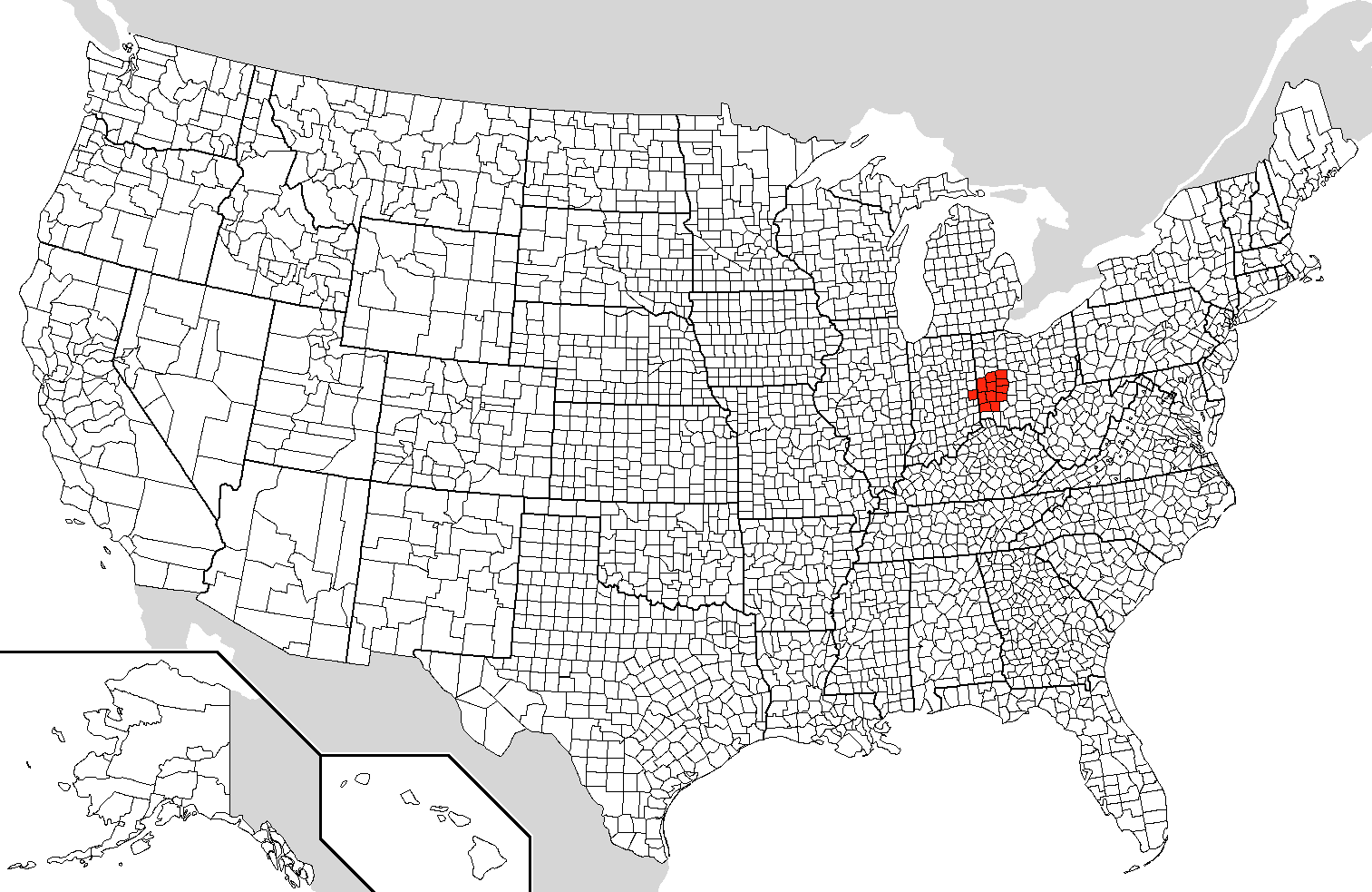
| Description | Location of the Miami Valley based on Image:Map of USA with county outlines (black & white).png |
| Date | 12/7/2007 |
| Source | Own work |
| Author | Noddy |
.png)
Licensing
| I, the copyright holder of this work, release this work into the public domain. This applies worldwide. In some countries this may not be legally possible; if so: I grant anyone the right to use this work for any purpose, without any conditions, unless such conditions are required by law. |
File history
Click on a date/time to view the file as it appeared at that time.
| Date/Time | Thumbnail | Dimensions | User | Comment | |
|---|---|---|---|---|---|
| current | 21:11, 7 December 2007 | | 1,513 × 983 (182 KB) | Noddy | {{Information |Description=Location of the Miami Valley based on Image:Map of USA with county outlines (black & white).png |Source=self-made |Date=12/7/2007 |Author= Noddy |Permission= |other_versions= }} |
.png)
File usage
The following pages on the English Wikipedia use this file (pages on other projects are not listed):