
File:Middle East (orthographic projection).png
Size of this preview: 600 × 600 pixels. Other resolutions: 240 × 240 pixels | 480 × 480 pixels | 768 × 768 pixels | 1,200 × 1,200 pixels.
Original file (1,200 × 1,200 pixels, file size: 525 KB, MIME type: image/png)
| This is a file from the Wikimedia Commons. Information from its description page there is shown below. Commons is a freely licensed media file repository. You can help. |
.png)
Summary
| Description |
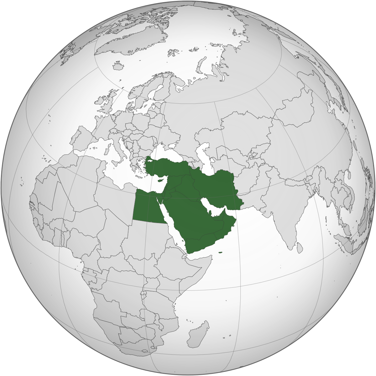
English: Middle East (orthographic projection) |
| Date | |
| Source | https://en.wikipedia.org/wiki/Middle_East#/media/File:Middle_East_(orthographic_projection).svg |
| Author | This W3C-unspecified vector image was created with Inkscape. The map has been created with the Generic Mapping Tools: http://gmt.soest.hawaii.edu/ using one or more of these public-domain datasets for the relief: ETOPO2 (topography/bathymetry): http://www.ngdc.noaa.gov/mgg/global/global.html GLOBE (topography): http://www.ngdc.noaa.gov/mgg/topo/gltiles.html SRTM (topography): http://www2.jpl.nasa.gov/srtm/ |
.svg)
Licensing
This file is licensed under the Creative Commons Attribution-Share Alike 4.0 International license.
- You are free:
- to share – to copy, distribute and transmit the work
- to remix – to adapt the work
- Under the following conditions:
- attribution – You must give appropriate credit, provide a link to the license, and indicate if changes were made. You may do so in any reasonable manner, but not in any way that suggests the licensor endorses you or your use.
- share alike – If you remix, transform, or build upon the material, you must distribute your contributions under the same or compatible license as the original.

|
This media file is uncategorized.
Please help improve this media file by adding it to one or more categories, so it may be associated with related media files (how?), and so that it can be more easily found.
Please notify the uploader with {{subst:Please link images|File:Middle East (orthographic projection).png}} ~~~~ |
File history
Click on a date/time to view the file as it appeared at that time.
| Date/Time | Thumbnail | Dimensions | User | Comment | |
|---|---|---|---|---|---|
| current | 22:34, 11 March 2020 | | 1,200 × 1,200 (525 KB) | Burco18 | Uploaded a work by This W3C-unspecified vector image was created with Inkscape. The map has been created with the Generic Mapping Tools: http://gmt.soest.hawaii.edu/ using one or more of these public-domain datasets for the relief: ETOPO2 (topography/bathymetry): http://www.ngdc.noaa.gov/mgg/global/global.html GLOBE (topography): http://www.ngdc.noaa.gov/mgg/topo/gltiles.html SRTM (topography): http://www2.jpl.nasa.gov/srtm/ from https://en.wikipedia.org/wiki/Middle_East#/media/File:Middle_Ea... |
File usage
The following pages on the English Wikipedia use this file (pages on other projects are not listed):
- User:.marc.
- User:Alex Khan93
- User:Amr Mostafa
- User:Bakulisko pei
- User:Batravos
- User:Centaur815
- User:CsikosLo
- User:EDJT840
- User:Gaby T. ABBOUD
- User:Hoboron
- User:Inkbug/Userboxen
- User:Jacobdaun
- User:Joe.abiraad
- User:Menasim
- User:Mickel123
- User:Neddyseagoon/Memberships
- User:Neddyseagoon/Userboxes
- User:Neddyseagoon/Userboxes2
- User:Nsaum75
- User:Persian Aviator
- User:Poliocretes
- User:Zaher1988
- Wikipedia:Userboxes/History/Military
- Wikipedia:Userboxes/Location/Turkey
- Wikipedia:Userboxes/WikiProjects/History
- Wikipedia:WikiProject Military history/Members
- Wikipedia:WikiProject Military history/Members/Banners
- Wikipedia:WikiProject Military history/Members/User WPMILHIST Middle Eastern military history task force
- Wikipedia:WikiProject Military history/Middle Eastern military history task force
Global file usage
The following other wikis use this file:
- Usage on cs.wikipedia.org
- Usage on tr.wikipedia.org
.png)