
File:Minneapolis-StPaul-2000.jpg
Size of this preview: 654 × 600 pixels. Other resolutions: 262 × 240 pixels | 524 × 480 pixels | 838 × 768 pixels | 1,117 × 1,024 pixels | 2,234 × 2,048 pixels | 2,592 × 2,376 pixels.
Original file (2,592 × 2,376 pixels, file size: 1.06 MB, MIME type: image/jpeg)
| This is a file from the Wikimedia Commons. Information from its description page there is shown below. Commons is a freely licensed media file repository. You can help. |
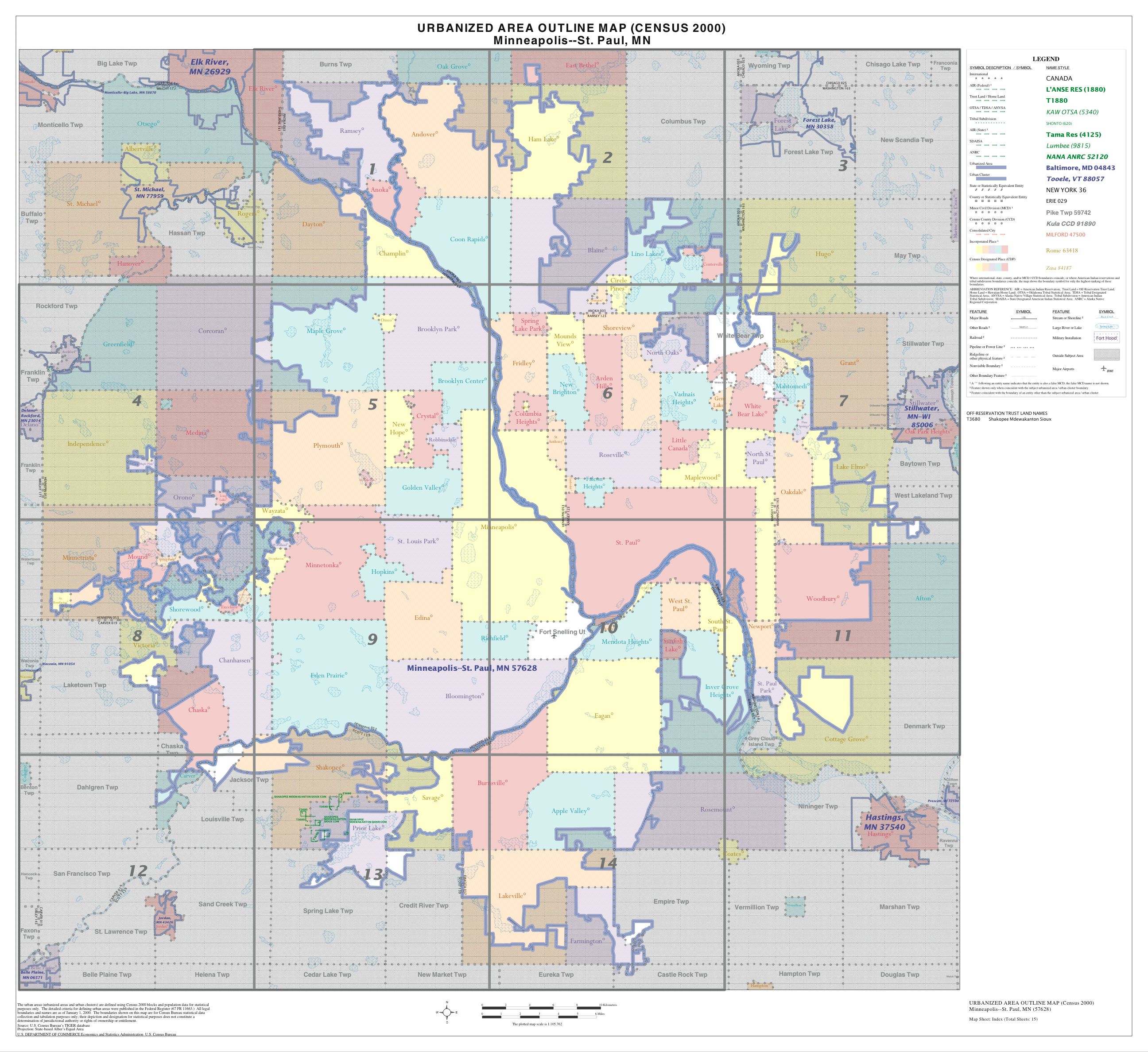
Urbanized Area Outline Map (Census 2000) w:Minneapolis-Saint Paul
Source: https://www.census.gov\/geo/www/maps/ua2kmaps.htm
This image or file is a work of a United States Census Bureau employee, taken or made as part of that person's official duties. As a work of the U.S. federal government, the image is in the public domain.
|
 |
File history
Click on a date/time to view the file as it appeared at that time.
| Date/Time | Thumbnail | Dimensions | User | Comment | |
|---|---|---|---|---|---|
| current | 00:25, 10 May 2007 | | 2,592 × 2,376 (1.06 MB) | SusanLesch | Urbanized Area Outline Map (Census 2000) w:Minneapolis-Saint Paul Source: http://www.census.gov/geo/www/maps/ua2kmaps.htm {{PD-USGov}} Category:Minneapolis-St. Paul |
File usage
The following pages on the English Wikipedia use this file (pages on other projects are not listed):