
File:Mulhouse.emetteur.jpg

Size of this preview: 450 × 600 pixels. Other resolutions: 180 × 240 pixels | 360 × 480 pixels | 576 × 768 pixels | 768 × 1,024 pixels | 1,704 × 2,272 pixels.
Original file (1,704 × 2,272 pixels, file size: 614 KB, MIME type: image/jpeg)
| This is a file from the Wikimedia Commons. Information from its description page there is shown below. Commons is a freely licensed media file repository. You can help. |
| Description |
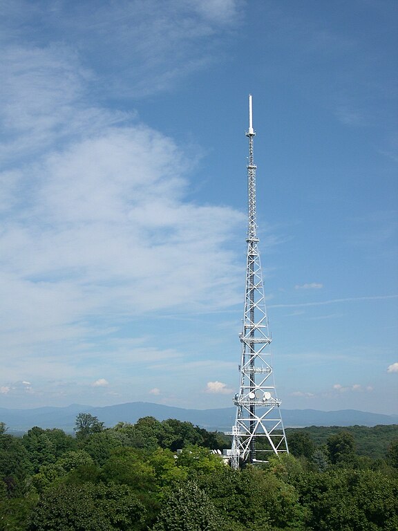
Français : Vue sur la tour, type pylône tripode pour TV-Radio-télécom, de TdF de Mulhouse 68 (en arrière plan la Forêt Noire) prise depuis la Tour du Belvédère.
Deutsch: Sendeturm Mulhouse |
| Date | 13 August 2005 (original upload date) |
| Source | Transferred from fr.wikipedia to Commons by Jeriby using CommonsHelper. |
| Author | Serge Nueffer at French Wikipedia |
| Camera location | | View this and other nearby images on: OpenStreetMap |
|---|
Licensing
| This work has been released into the public domain by its author, Serge Nueffer at French Wikipedia. This applies worldwide. In some countries this may not be legally possible; if so: Serge Nueffer grants anyone the right to use this work for any purpose, without any conditions, unless such conditions are required by law. |
File history
Click on a date/time to view the file as it appeared at that time.
| Date/Time | Thumbnail | Dimensions | User | Comment | |
|---|---|---|---|---|---|
| current | 14:59, 5 November 2008 | | 1,704 × 2,272 (614 KB) | File Upload Bot (Magnus Manske) | {{BotMoveToCommons|fr.wikipedia}} {{Information |Description={{fr|* Vue sur la tour, type pylône tripode pour TV-Radio-télécom, de TdF de Mulhouse 68.( en arrière plan la Forêt Noire) * Photo Serge Nueffer}} |Source=Transferred from [http: |
File usage
The following pages on the English Wikipedia use this file (pages on other projects are not listed):
Global file usage
The following other wikis use this file:
- Usage on arz.wikipedia.org
- Usage on de.wikipedia.org
- Usage on fr.wikipedia.org
- Usage on www.wikidata.org