
File:Norisring track map.svg

Size of this PNG preview of this SVG file: 800 × 552 pixels. Other resolutions: 320 × 221 pixels | 640 × 442 pixels | 1,024 × 707 pixels | 1,280 × 883 pixels | 2,560 × 1,767 pixels | 1,423 × 982 pixels.
Original file (SVG file, nominally 1,423 × 982 pixels, file size: 139 KB)
| This is a file from the Wikimedia Commons. Information from its description page there is shown below. Commons is a freely licensed media file repository. You can help. |
Summary
| Description |
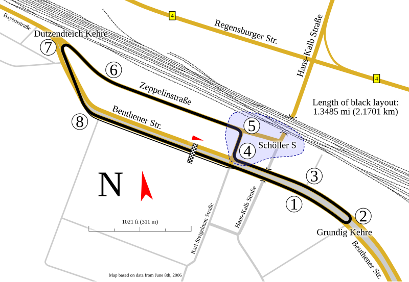
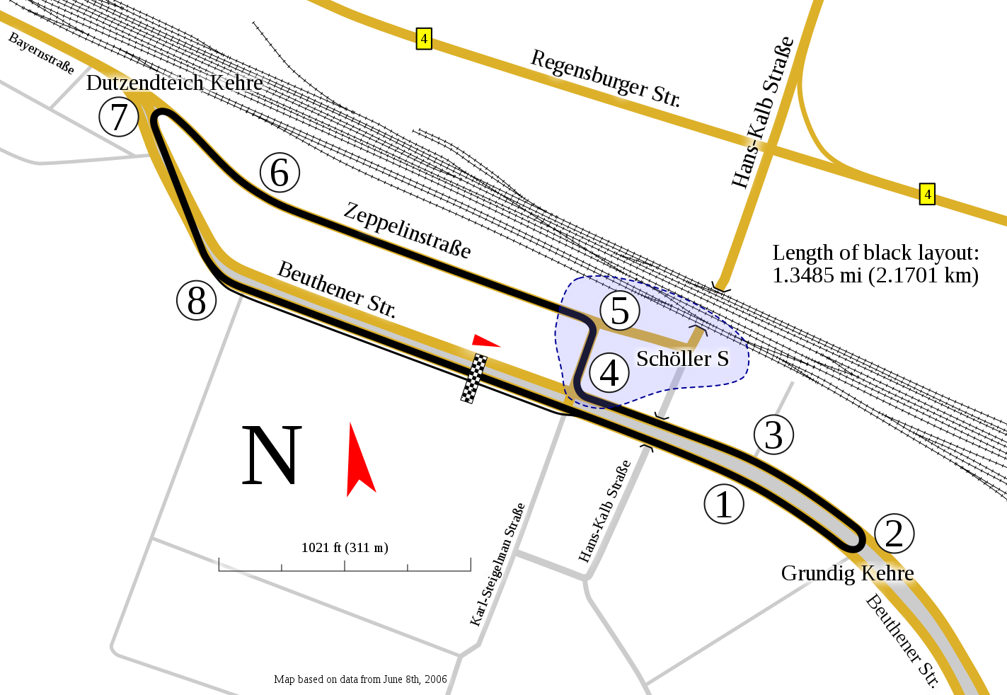
English: Track map for use with Norisring |
| Date | |
| Source | Own work |
| Author | Will Pittenger |
| Other versions |
|


This W3C-unspecified vector image was created with Inkscape .
| Camera location | | View this and other nearby images on: OpenStreetMap |
|---|
Licensing
I, the copyright holder of this work, hereby publish it under the following license:
This file is licensed under the Creative Commons Attribution-Share Alike 3.0 Unported license.
- You are free:
- to share – to copy, distribute and transmit the work
- to remix – to adapt the work
- Under the following conditions:
- attribution – You must give appropriate credit, provide a link to the license, and indicate if changes were made. You may do so in any reasonable manner, but not in any way that suggests the licensor endorses you or your use.
- share alike – If you remix, transform, or build upon the material, you must distribute your contributions under the same or compatible license as the original.
File history
Click on a date/time to view the file as it appeared at that time.
| Date/Time | Thumbnail | Dimensions | User | Comment | |
|---|---|---|---|---|---|
| current | 06:48, 5 February 2010 | | 1,423 × 982 (139 KB) | Will Pittenger | Corrections on the number of turns and the location of pit lane. Also found the missing items from the first version (they were out of frame). |
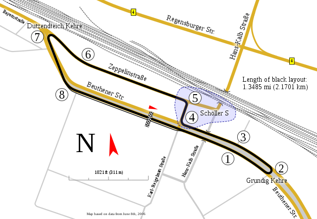
| 12:52, 29 January 2010 |  | 1,423 × 982 (147 KB) | Will Pittenger | Some elements like scale were missing. This version adds them. | |
| 09:58, 29 January 2010 |  | 1,423 × 982 (142 KB) | Will Pittenger | {{Information |Description={{en|1=Track map for use with w:Norisring}} |Source={{own}} |Author=Will Pittenger |Date=2009-01-29 |Permission= |other_versions=<gallery>File:Norisring map.gif|Norisring map.gif—Older GIF with |
File usage
The following pages on the English Wikipedia use this file (pages on other projects are not listed):
Global file usage
The following other wikis use this file:
- Usage on de.wikipedia.org
- Usage on es.wikipedia.org
- Usage on fi.wikipedia.org
- Usage on fr.wikipedia.org
- Usage on gl.wikipedia.org
- Usage on hu.wikipedia.org
- Usage on id.wikipedia.org
- Usage on it.wikipedia.org
- Usage on ja.wikipedia.org
- Usage on ms.wikipedia.org
- Usage on nl.wikipedia.org
- Usage on no.wikipedia.org
- Usage on pl.wikipedia.org
- Usage on pt.wikipedia.org
- Usage on ru.wikipedia.org
- Usage on sv.wikipedia.org
- Usage on www.wikidata.org
- Usage on zh.wikipedia.org