
File:Phuhs.jpg
Size of this preview: 586 × 599 pixels. Other resolutions: 235 × 240 pixels | 469 × 480 pixels | 751 × 768 pixels | 1,001 × 1,024 pixels | 1,395 × 1,427 pixels.
Original file (1,395 × 1,427 pixels, file size: 922 KB, MIME type: image/jpeg)
| This is a file from the Wikimedia Commons. Information from its description page there is shown below. Commons is a freely licensed media file repository. You can help. |
Summary
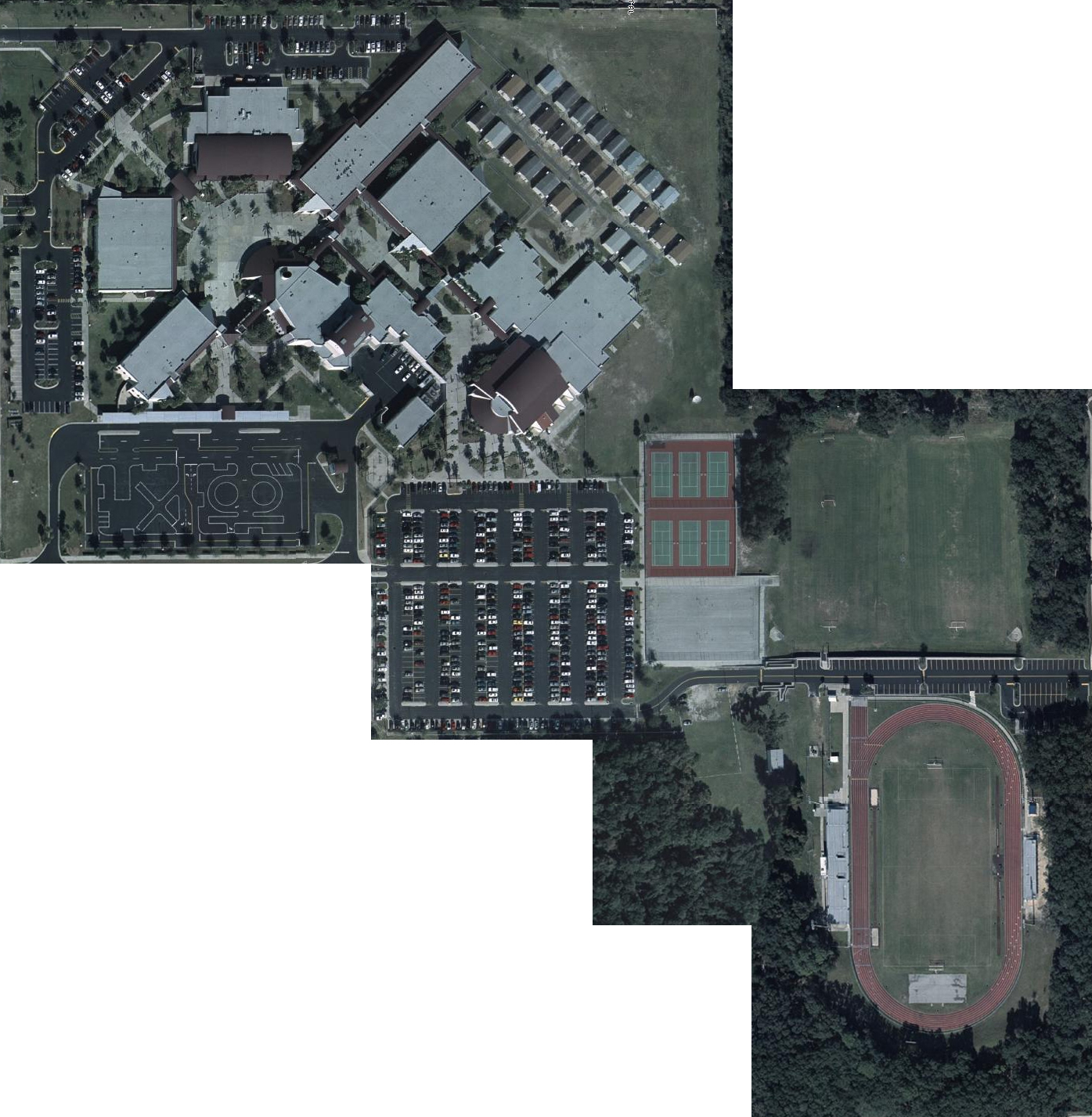
Aerial photo of the property which belongs to Palm Harbor University High School. I, Casey Peterson, assembled screenshots of satellite imagery taken from the Pinellas County Public GIS Viewer (http://pubgis.co.pinellas.fl.us/public_gis/). The satellite imagery found on this site is offered freely by Pinellas County and is in the public domain.
Licensing
| I, the copyright holder of this work, release this work into the public domain. This applies worldwide. In some countries this may not be legally possible; if so: I grant anyone the right to use this work for any purpose, without any conditions, unless such conditions are required by law. |
File history
Click on a date/time to view the file as it appeared at that time.
| Date/Time | Thumbnail | Dimensions | User | Comment | |
|---|---|---|---|---|---|
| current | 22:22, 7 February 2006 | | 1,395 × 1,427 (922 KB) | Subterfugest | Aerial photo of the property which belongs to Palm Harbor University High School. I assembled screenshots of satellite imagery taken from the Pinellas County Public GIS Viewer (http://pubgis.co.pinellas.fl.us/public_gis/). The satellite imagery found on |
File usage
The following pages on the English Wikipedia use this file (pages on other projects are not listed):