
File:Plat book of Kiowa County, Oklahoma - containing maps of villages, cities and townships of the county and of the state, United States and world - also portraits of representative citizens, old LOC 2008622014-26.jpg

Size of this preview: 509 × 599 pixels. Other resolutions: 204 × 240 pixels | 408 × 480 pixels | 652 × 768 pixels | 870 × 1,024 pixels | 2,295 × 2,702 pixels.
Original file (2,295 × 2,702 pixels, file size: 928 KB, MIME type: image/jpeg)
| This is a file from the Wikimedia Commons. Information from its description page there is shown below. Commons is a freely licensed media file repository. You can help. |
Summary
| Description |
English: LeGear. Atlases of the United States, 6068 Available also through the Library of Congress Web site as a raster image. Includes indexes and advertisements. Annotations in pencil on some maps. LC copy imperfect: Rear board separated from binding. P. 52-61, 69-70, 73+ (all portraits) wanting. Vendor: John Carbonell (eBay Auction) Acquisitions control no. 2008-052 |
||
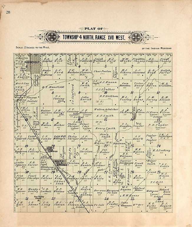
| Title | Plat book of Kiowa County, Oklahoma : containing maps of villages, cities and townships of the county and of the state, United States and world : also portraits of representative citizens, old settlers and leading men of the county, together with residences and other views | ||
| Shelf ID | G1368.K5 W3 1913 | ||
| Parent | https://www.loc.gov/resource/g4023km.gla00060/ | ||
| Sheet title | Township 4 North Range XVII West | ||
| Date | |||
| Source | https://www.loc.gov/item/2008622014/ | ||
| Author | Wangersheim, W. (William); Wangersheim, W. | ||
| Permission (Reusing this file) |
|
||
| Other versions |
|
||
| Location | United States · Oklahoma · Kiowa County | ||
| Part of | American Memory · Catalog · County Landownership Maps · Geography And Map Division · Cultural Landscapes | ||
| Subject | Kiowa County (Okla.) · Oklahoma · United States · Maps · Kiowa County · Real Property · Landowners |


Licensing
|
This is a faithful photographic reproduction of a two-dimensional, public domain work of art. The work of art itself is in the public domain for the following reason:
The official position taken by the Wikimedia Foundation is that "faithful reproductions of two-dimensional public domain works of art are public domain".
This photographic reproduction is therefore also considered to be in the public domain in the United States. In other jurisdictions, re-use of this content may be restricted; see Reuse of PD-Art photographs for details. | ||||
File history
Click on a date/time to view the file as it appeared at that time.
| Date/Time | Thumbnail | Dimensions | User | Comment | |
|---|---|---|---|---|---|
| current | 02:45, 23 May 2018 | | 2,295 × 2,702 (928 KB) | Fæ | LOC Maps multisheet https://www.loc.gov/item/2008622014/ sheet 26 of 41 #10030 |
File usage
The following pages on the English Wikipedia use this file (pages on other projects are not listed):