
File:Prince William School map.png
Size of this preview: 497 × 599 pixels. Other resolutions: 199 × 240 pixels | 398 × 480 pixels | 637 × 768 pixels | 1,217 × 1,467 pixels.
Original file (1,217 × 1,467 pixels, file size: 100 KB, MIME type: image/png)
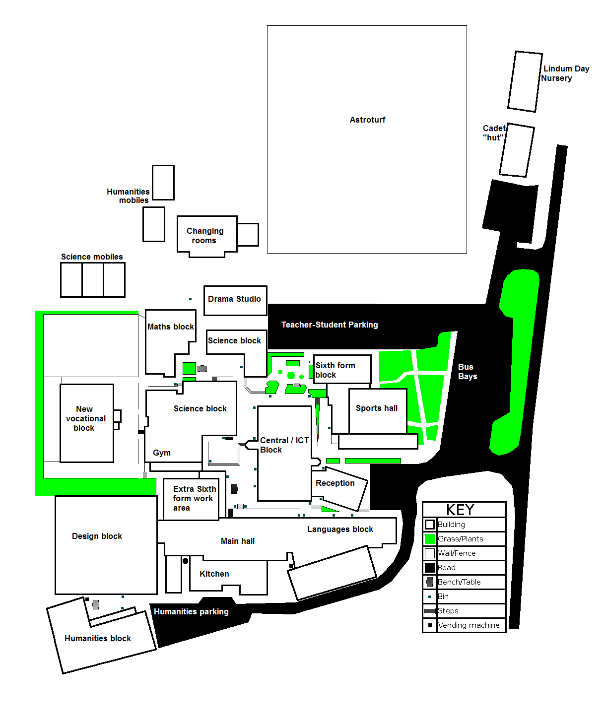
Prince William School, Oundle
Summary[edit]
| Description |
A map of prince william school that I made for my graphics coursework in year 11. |
|---|---|
| Source |
I created this work entirely by myself. |
| Date |
22/12/2008 |
| Author |
dr-spangle |
| Permission (Reusing this file) |
See below.
|
Licensing:[edit]
| I, the copyright holder of this work, hereby release it into the public domain. This applies worldwide. If this is not legally possible: |
 | This file is a candidate to be copied to Wikimedia Commons.
Any user may perform this transfer; refer to Wikipedia:Moving files to Commons for details. If this file has problems with attribution, copyright, or is otherwise ineligible for Commons, then remove this tag and DO NOT transfer it; repeat violators may be blocked from editing. Other Instructions
| ||
| |||
File history
Click on a date/time to view the file as it appeared at that time.
| Date/Time | Thumbnail | Dimensions | User | Comment | |
|---|---|---|---|---|---|
| current | 19:13, 6 April 2010 | | 1,217 × 1,467 (100 KB) | Dr-spangle (talk | contribs) | Added correct labels. |
| 23:47, 22 December 2008 |  | 1,217 × 1,467 (21 KB) | Dr-spangle (talk | contribs) | {{Information |Description=A map of prince william school that I made for my graphics coursework in year 11. |Source=I created this work entirely by myself. |Date=22/12/2008 |Author=dr-spangle (Joshua Coales) |other_versions= }} |
You cannot overwrite this file.
File usage
The following pages on the English Wikipedia use this file (pages on other projects are not listed):