
File:Rushop hall 087176 0ec1e6c0.jpg
Size of this preview: 800 × 600 pixels. Other resolutions: 320 × 240 pixels | 640 × 480 pixels | 1,024 × 768 pixels | 1,280 × 960 pixels.
Original file (1,280 × 960 pixels, file size: 309 KB, MIME type: image/jpeg)
| This is a file from the Wikimedia Commons. Information from its description page there is shown below. Commons is a freely licensed media file repository. You can help. |
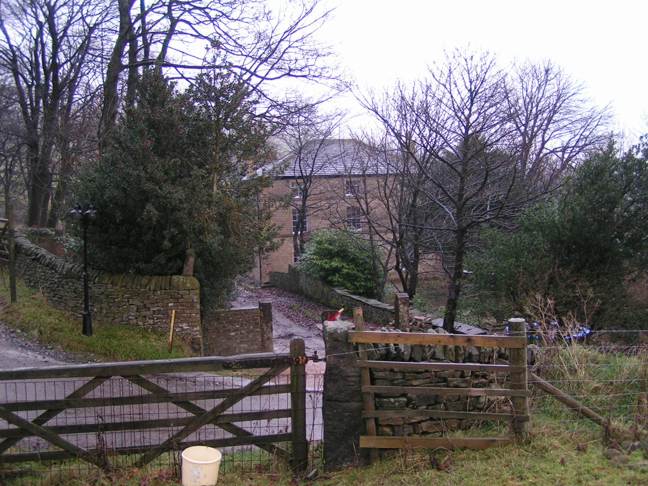
| Description | Rushop Derbyshire Rushop Hall. Marked as "Rushop" on the modern Ordnance Survey map and the house sign, but all the nearby features sharing this name (Rushup Farm, Rushup Edge etc.) use the "Rushup" spelling, as does the 1940s map. |
| Date | |
| Source | Own work |
| Author | Dave Dunford |
| Permission (Reusing this file) |
Creative Commons Attribution Share-alike license 2.0 |
| Other versions |
This is a photo of listed building number 1088026. |
| Object location | | View this and other nearby images on: OpenStreetMap |
|---|
_region:GB-ENG_&language=en)
This file is licensed under the Creative Commons Attribution-Share Alike 2.0 Generic license.
Attribution: Dave Dunford
- You are free:
- to share – to copy, distribute and transmit the work
- to remix – to adapt the work
- Under the following conditions:
- attribution – You must give appropriate credit, provide a link to the license, and indicate if changes were made. You may do so in any reasonable manner, but not in any way that suggests the licensor endorses you or your use.
- share alike – If you remix, transform, or build upon the material, you must distribute your contributions under the same or compatible license as the original.
File history
Click on a date/time to view the file as it appeared at that time.
| Date/Time | Thumbnail | Dimensions | User | Comment | |
|---|---|---|---|---|---|
| current | 07:36, 24 September 2020 | | 1,280 × 960 (309 KB) | Dave.Dunford | Original photo (larger) |
| 20:22, 12 May 2008 |  | 640 × 480 (186 KB) | Victuallers | {{Information |Description=Stonebroom, Derbyshire Rushop Hall Marked as "Rushop" on the modern Ordnance Survey map and the house sign, but all the nearby features sharing this name (Rushup Farm, Rushup Edge etc.) use the "Rushup" spelling |
File usage
The following pages on the English Wikipedia use this file (pages on other projects are not listed):
Global file usage
The following other wikis use this file: