
File:SCO UK EU map.PNG
Size of this preview: 714 × 600 pixels. Other resolutions: 286 × 240 pixels | 572 × 480 pixels | 915 × 768 pixels | 1,219 × 1,024 pixels | 2,048 × 1,720 pixels.
Original file (2,048 × 1,720 pixels, file size: 597 KB, MIME type: image/png)
| This is a file from the Wikimedia Commons. Information from its description page there is shown below. Commons is a freely licensed media file repository. You can help. |
Summary
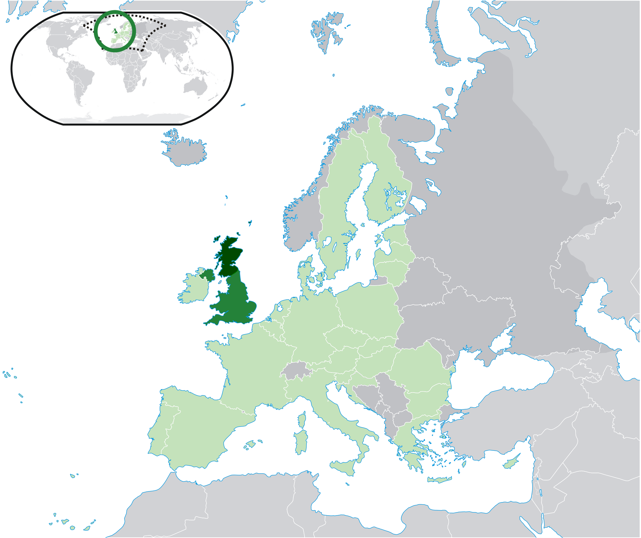
| Description | Location map: Scotland (dark green) / United Kingdom (mid green) / European Union (light green) / Europe (dark grey); inspired by and consistent with general country locator maps by User:Vardion,User:Quizimodo, et al |
| Date | |
| Source | Own work |
| Author | Rab-k |
| Other versions |
|
Licensing
| I, the copyright holder of this work, release this work into the public domain. This applies worldwide. In some countries this may not be legally possible; if so: I grant anyone the right to use this work for any purpose, without any conditions, unless such conditions are required by law. |
File history
Click on a date/time to view the file as it appeared at that time.
| Date/Time | Thumbnail | Dimensions | User | Comment | |
|---|---|---|---|---|---|
| current | 18:33, 28 July 2020 | | 2,048 × 1,720 (597 KB) | Maphobbyist | Update: South Sudan border |
| 15:04, 1 October 2014 |  | 2,048 × 1,720 (602 KB) | Maphobbyist | Update: Croatia | |
| 16:19, 7 April 2008 |  | 2,048 × 1,720 (413 KB) | Rab-k | {{Information |Description=Location map: Scotland (dark green) / United Kingdom (mid green) / European Union (light green) / Europe (dark grey); inspired by and consistent with general country locator maps by User:Vardion,[User:Quizimodo]], et al |Sou |
File usage
The following pages on the English Wikipedia use this file (pages on other projects are not listed):