
File:Salida, Colorado with Sangre de Cristo Range in Background .jpg
Original file (2,048 × 1,536 pixels, file size: 1.77 MB, MIME type: image/jpeg)
| This is a file from the Wikimedia Commons. Information from its description page there is shown below. Commons is a freely licensed media file repository. You can help. |
Summary
| Description |
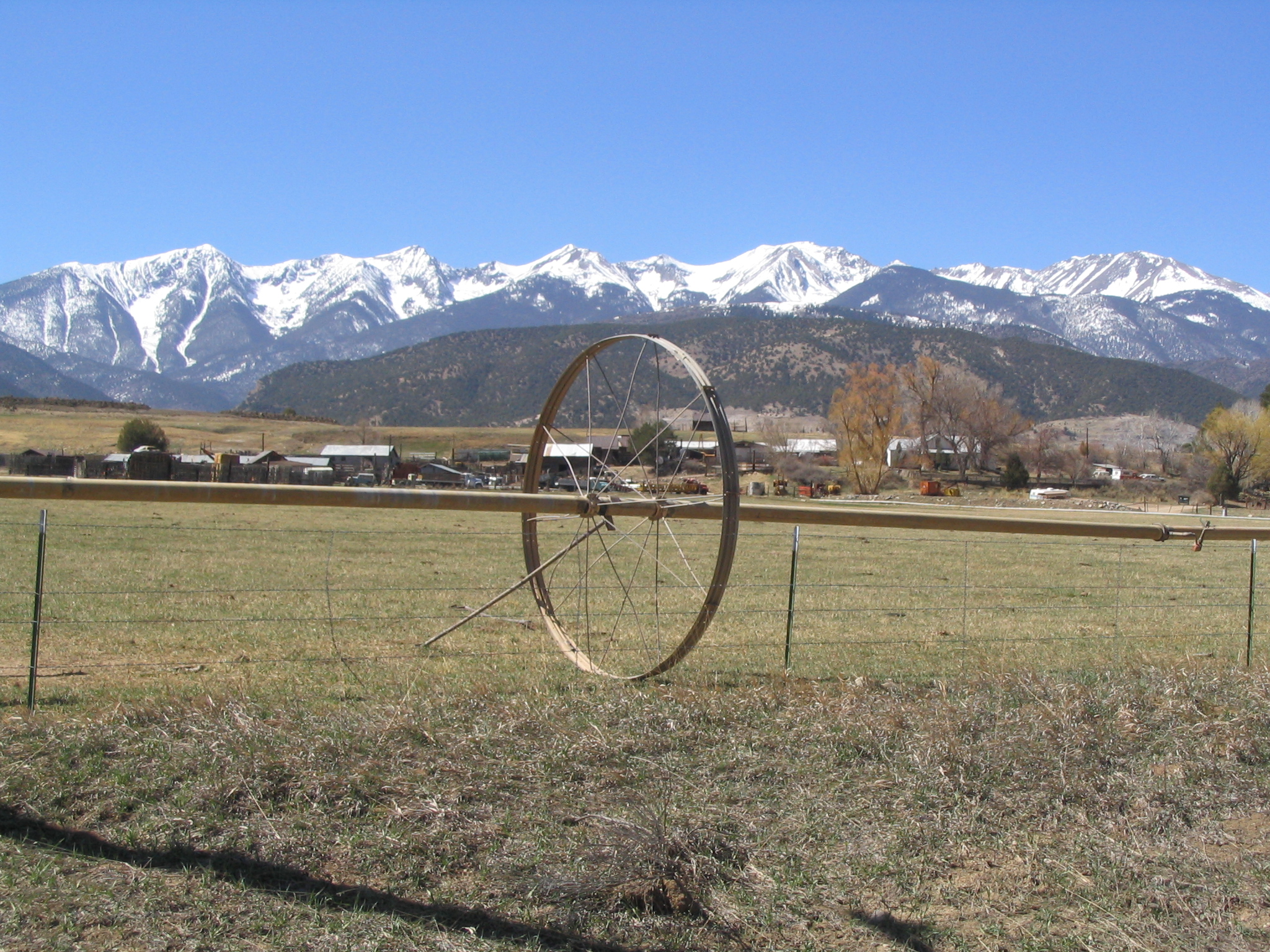
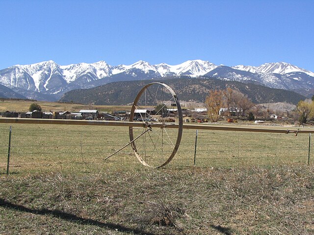
The City of Salida is a Statutory City that is the county seat and most populous city of Chaffee County, Colorado, United States. The population was 5504 at the U.S. Census 2000. Founded in 1880, Salida was originally a railroad town and was a significant link in the Denver and Rio Grande Western Railroad. After World War II the railroad began pulling back its operations in Salida. Many residents in the 1950s, 1960s, and 1970s worked either in local ranching operations or commuted north to Leadville to work at the Climax Molybdenum Company. Today, the most prominent business in Salida is tourism, consisting of skiing at Monarch ski area, whitewater rafting, kayaking and outfitting, particularly on the Arkansas River. Salida is home to the annual FIBArk kayak race, one of the oldest whitewater races in North America. en.wikipedia.org/wiki/Salida,_Colorado en.wikipedia.org/wiki/Wikipedia:Text_of_Creative_Commons_... |
| Date | |
| Source | Salida, Colorado with Sangre de Cristo Range in Background |
| Author | Ken Lund from Reno, Nevada, USA |
| Camera location | | View this and other nearby images on: OpenStreetMap |
|---|
Licensing
- You are free:
- to share – to copy, distribute and transmit the work
- to remix – to adapt the work
- Under the following conditions:
- attribution – You must give appropriate credit, provide a link to the license, and indicate if changes were made. You may do so in any reasonable manner, but not in any way that suggests the licensor endorses you or your use.
- share alike – If you remix, transform, or build upon the material, you must distribute your contributions under the same or compatible license as the original.
| This image was originally posted to Flickr by Ken Lund at https://flickr.com/photos/75683070@N00/66825801. It was reviewed on 1 August 2016 by FlickreviewR and was confirmed to be licensed under the terms of the cc-by-sa-2.0. |
File history
Click on a date/time to view the file as it appeared at that time.
| Date/Time | Thumbnail | Dimensions | User | Comment | |
|---|---|---|---|---|---|
| current | 14:37, 1 August 2016 | | 2,048 × 1,536 (1.77 MB) | Tillman | Transferred from Flickr via Flickr2Commons |