
File:Southern St. Martin Island, Delta County, Michigan 2020 (cropped).png

Size of this preview: 548 × 600 pixels. Other resolutions: 219 × 240 pixels | 439 × 480 pixels | 702 × 768 pixels | 936 × 1,024 pixels | 1,872 × 2,048 pixels | 6,515 × 7,128 pixels.
Original file (6,515 × 7,128 pixels, file size: 98.25 MB, MIME type: image/png)
| This is a file from the Wikimedia Commons. Information from its description page there is shown below. Commons is a freely licensed media file repository. You can help. |
| Description |
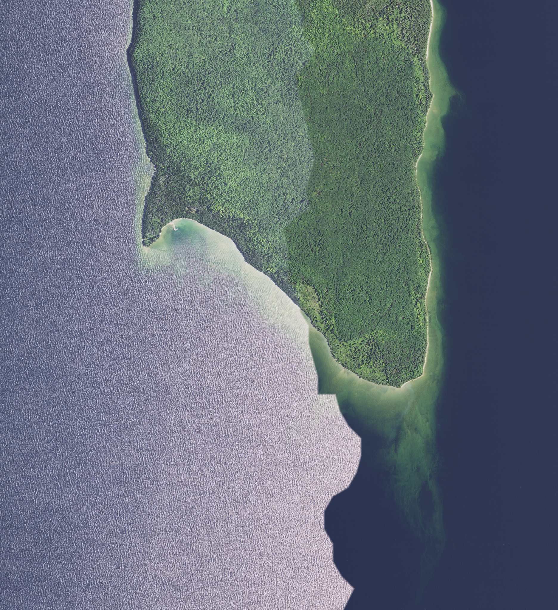
English: Aerial view of southern St. Martin Island in Delta County, Michigan, taken July 28, 2020. |
|||
| Date | ||||
| Source | converted to .png by Epiphyllumlover from the original .tif available as item M_4508634_NE_16_060_20200728 on EarthExplorer | |||
| Author | Aerial Photography Field Office (APFO) for NAIP, USGS; in contract with the Surdex Corporation | |||
| Permission (Reusing this file) |
|
|||
| Other versions |

.png)
File history
Click on a date/time to view the file as it appeared at that time.
| Date/Time | Thumbnail | Dimensions | User | Comment | |
|---|---|---|---|---|---|
| current | 17:40, 8 January 2022 | | 6,515 × 7,128 (98.25 MB) | Epiphyllumlover | File:Southern St. Martin Island, Delta County, Michigan 2020.png cropped 28 % horizontally, 43 % vertically using CropTool with lossless mode. |
File usage
The following pages on the English Wikipedia use this file (pages on other projects are not listed):
.png)