
File:Symphurus thermophilus rangemap.png
Size of this preview: 800 × 370 pixels. Other resolutions: 320 × 148 pixels | 640 × 296 pixels | 1,357 × 628 pixels.
Original file (1,357 × 628 pixels, file size: 35 KB, MIME type: image/png)
| This is a file from the Wikimedia Commons. Information from its description page there is shown below. Commons is a freely licensed media file repository. You can help. |
Summary
| Description |
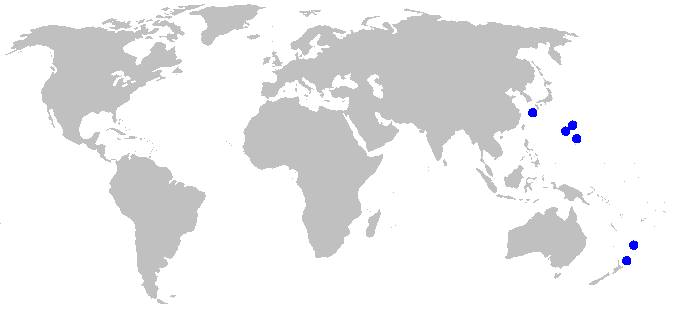
English: Known localities for Symphurus thermophilus, from Munroe and Hashimoto (2008). |
| Date | |
| Source | Own work |
| Author | Yzx |
Licensing
| I, the copyright holder of this work, release this work into the public domain. This applies worldwide. In some countries this may not be legally possible; if so: I grant anyone the right to use this work for any purpose, without any conditions, unless such conditions are required by law. |
File history
Click on a date/time to view the file as it appeared at that time.
| Date/Time | Thumbnail | Dimensions | User | Comment | |
|---|---|---|---|---|---|
| current | 03:33, 21 December 2008 | | 1,357 × 628 (35 KB) | Yzx | bigger dots |
| 03:30, 21 December 2008 |  | 1,357 × 628 (35 KB) | Yzx | {{Information |Description={{en|1=Known localities for ''Symphurus thermophilus'', from Munroe and Hashimoto (2008).}} |Source=Own work by uploader |Author=Yzx |Date=December 20, 2008 |Permission= |other_versions= }} <!--{{ImageUpload|full}} |
File usage
The following pages on the English Wikipedia use this file (pages on other projects are not listed):
Global file usage
The following other wikis use this file:
- Usage on ceb.wikipedia.org
- Usage on eu.wikipedia.org
- Usage on fa.wikipedia.org
- Usage on ja.wikipedia.org
- Usage on sv.wikipedia.org
- Usage on www.wikidata.org
- Usage on zh.wikipedia.org