
File:Tangier Ibn Battouta Airport map.png

Size of this preview: 800 × 481 pixels. Other resolutions: 320 × 192 pixels | 640 × 385 pixels | 1,155 × 694 pixels.
Original file (1,155 × 694 pixels, file size: 354 KB, MIME type: image/png)
| This is a file from the Wikimedia Commons. Information from its description page there is shown below. Commons is a freely licensed media file repository. You can help. |
| Description |
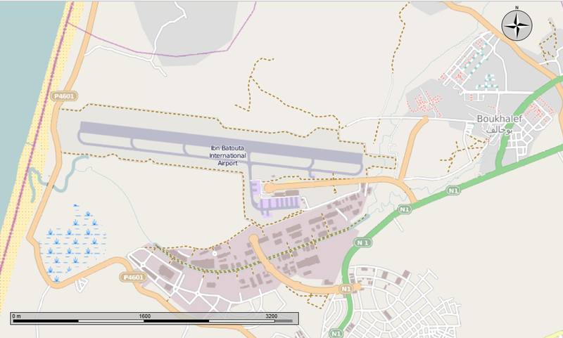
English: Map of the Ibn Battouta Airport and the town of Boukhalef. |
|||||
| Date | ||||||
| Source | Open Street Map from the Marble program | |||||
| Author | Own work | |||||
| Permission (Reusing this file) |
I, the copyright holder of this work, hereby publish it under the following license: This file is licensed under the Creative Commons Attribution-Share Alike 4.0 International license.
|

File history
Click on a date/time to view the file as it appeared at that time.
| Date/Time | Thumbnail | Dimensions | User | Comment | |
|---|---|---|---|---|---|
| current | 15:30, 9 February 2014 | | 1,155 × 694 (354 KB) | Oaktree b | {{Information |Description ={{en|1=Map of the Ibn Battouta Airport and the town of Boukhalef.}} |Source =Open Street Map from the Marble program |Author ={{own}} |Date =2014-02-09 |Permission ={{self|cc-by-sa-4.0}}{{ODb... |
File usage
The following pages on the English Wikipedia use this file (pages on other projects are not listed):
Global file usage
The following other wikis use this file:
- Usage on ca.wikipedia.org
- Usage on fr.wikipedia.org
- Usage on ru.wikipedia.org
- Usage on uz.wikipedia.org