
File:Topological map of Neu Guinea.png

Size of this preview: 800 × 424 pixels. Other resolutions: 320 × 170 pixels | 640 × 339 pixels | 1,024 × 543 pixels | 1,280 × 678 pixels | 2,283 × 1,210 pixels.
Original file (2,283 × 1,210 pixels, file size: 1.28 MB, MIME type: image/png)
| This is a file from the Wikimedia Commons. Information from its description page there is shown below. Commons is a freely licensed media file repository. You can help. |
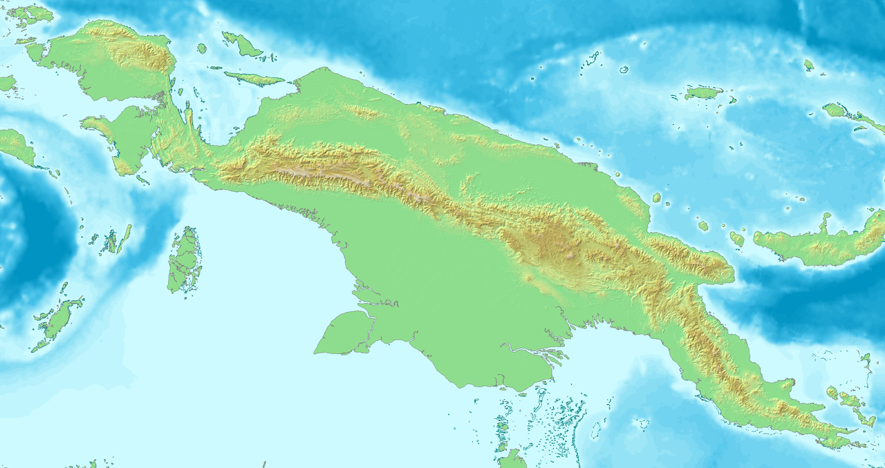
| Description | Topological map of Neu Guinea |
| Date | |
| Source | own work, created with DEMIS Webserver |
| Author | Lencer |

|
This map has been made or improved in the German Kartenwerkstatt (Map Lab). You can propose maps to improve as well.
|
| This work has been released into the public domain by its author, demis.nl. This applies worldwide. In some countries this may not be legally possible; if so: demis.nl grants anyone the right to use this work for any purpose, without any conditions, unless such conditions are required by law.
|
File history
Click on a date/time to view the file as it appeared at that time.
| Date/Time | Thumbnail | Dimensions | User | Comment | |
|---|---|---|---|---|---|
| current | 15:52, 6 September 2007 | | 2,283 × 1,210 (1.28 MB) | Lencer | {{Information| |Description=Topological map of Neu Guinea |Source=own work, created with [http://www.demis.nl/home/pages/home.htm DEMIS] Webserver |Date=September 2007 |Author=Lencer |other_versions= }} {{Kartenwerkstatt}} {{PD-aut |
File usage
The following pages on the English Wikipedia use this file (pages on other projects are not listed):
Global file usage
The following other wikis use this file:
- Usage on ba.wikipedia.org
- Usage on de.wikipedia.org
- Usage on fr.wikipedia.org
- Usage on hi.wikipedia.org
- Usage on hu.wikipedia.org
- Usage on ko.wikipedia.org
- Usage on ml.wikipedia.org
- Usage on si.wikipedia.org
- Usage on tg.wikipedia.org
- Usage on uz.wikipedia.org
- Usage on www.wikidata.org
- Usage on zh.wikipedia.org